Ferienbauernhaus Koller
Ferienbauernhaus Koller is a chalet in Niederndorferberg, Kufstein District, Tyrol which is located on Noppenberg. Ferienbauernhaus Koller is situated nearby to the church Johanneskapelle, as well as near the town hall Gemeindeamt Niederndorferberg.| Tap on a place to explore it |
Places of Interest Nearby
Highlights include Noppenbergkapelle, Niederndorferberg and Lampenkapelle, Niederndorferberg.
Noppenbergkapelle, Niederndorferberg
Church

Photo: Braveheart, CC BY-SA 4.0.
Noppenbergkapelle, Niederndorferberg is a church, which is situated 590 metres south of Ferienbauernhaus Koller.
Lampenkapelle, Niederndorferberg
Church

Photo: Braveheart, CC BY-SA 4.0.
Lampenkapelle, Niederndorferberg is a church, which is situated 1½ km northwest of Ferienbauernhaus Koller.
Schönstattkapelle
Church

Photo: Rufus46, CC BY-SA 3.0.
Schönstattkapelle is a church, which is situated 2 km northeast of Ferienbauernhaus Koller.
Places in the Area
Nearby places include Niederndorf and Sachrang.
Niederndorf
Village
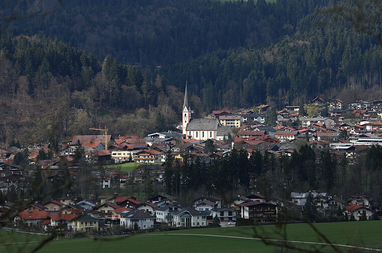
Photo: Rufus46, CC BY-SA 3.0.
Niederndorf is a municipality in the Kufstein district in the Austrian state of Tyrol located 7 km north of Kufstein and 2 km north above Ebbs near the border to Bavaria, Germany.
Sachrang
Village

Photo: Wikimedia, CC BY-SA 3.0.
The village of Sachrang is an Ortsteil of the municipality Aschau im Chiemgau, in Bavaria, Germany. It is located 738m above sea level. It is the namesake for the Sachrang Formation. Sachrang is situated 4 km northeast of Ferienbauernhaus Koller.
Niederaudorf
Village

Photo: Rufus46, CC BY-SA 4.0.
Niederaudorf is a village, which is situated 5 km west of Ferienbauernhaus Koller.
Ferienbauernhaus Koller
- Type: Chalet
- Address: Noppenberg 60, Niederndorferberg, 6346
- Categories: tourism, accommodation, and building
- Location: Niederndorferberg, Kufstein District, Tyrol, Austria, Central Europe, Europe
- View on OpenStreetMap
Latitude
47.66095° or 47° 39′ 39″ northLongitude
12.23862° or 12° 14′ 19″ eastOpen location code
8FVJM66Q+9COpenStreetMap ID
node 2418695939OpenStreetMap feature
tourism=chalet
This page is based on OpenStreetMap, Wikidata, and Wikimedia Commons.
We’d love your help improving our open data sources. Thank you for contributing.
Satellite Map
Discover Ferienbauernhaus Koller from above in high-definition satellite imagery.
Notable Places Nearby
Highlights include Johanneskapelle and Gemeindeamt Niederndorferberg.
Nearby Places
Explore places such as Volksschule und Kindergarten and Anna Buchauer.
Tyrol: Must-Visit Destinations
Delve into Innsbruck, Kufstein, Lienz, and Kitzbühel.
Curious Chalets to Discover
Uncover intriguing chalets from every corner of the globe.
About Mapcarta. Data © OpenStreetMap contributors and available under the Open Database License". Text is available under the CC BY-SA 4.0 license, except for photos, directions, and the map. Photo: Traveler100, CC BY-SA 3.0.