Snack Café Mario
Snack Café Mario is a café in Croatia. Snack Café Mario is situated nearby to the square Trg Petra Zoranića, as well as near the ruins Roman pillar.| Tap on a place to explore it |
Places of Interest Nearby
Highlights include Land gate and Church of St. Donatus.
Land gate
City gate

Photo: Berthold Werner, CC BY-SA 4.0.
Land gate is a city gate, which is situated 110 metres southwest of Snack Café Mario.
Church of St. Donatus

Photo: Pudelek, CC BY-SA 3.0.
The Church of St. Donatus is a Catholic church located in Zadar, Croatia. Its name refers to Donatus of Zadar, who began construction on this church in the 9th century and ended it on the northeastern part of the Roman forum. Church of St. Donatus is situated 500 metres northwest of Snack Café Mario.

Places in the Area
Nearby places include Zadar and Gaženica.
Zadar

Photo: Böhringer, CC BY-SA 2.5.
Zadar is the biggest city, cultural, economic and transit center of northern Dalmatia and the oldest continuously inhabited city in Croatia. Zadar is today one of the most popular Croatian tourist destinations, named "entertainment center of the Adriatic" by The Times and "Croatia's new capital of cool" by The Guardian in 2017.
Gaženica
Quarter
Gaženica is a suburb of Zadar, Croatia, located about 3 miles southeast from the city center, by the Adriatic Sea. It is connected by the D424 highway. Gaženica is situated 3½ km southeast of Snack Café Mario.
Ošljak, Preko
Village
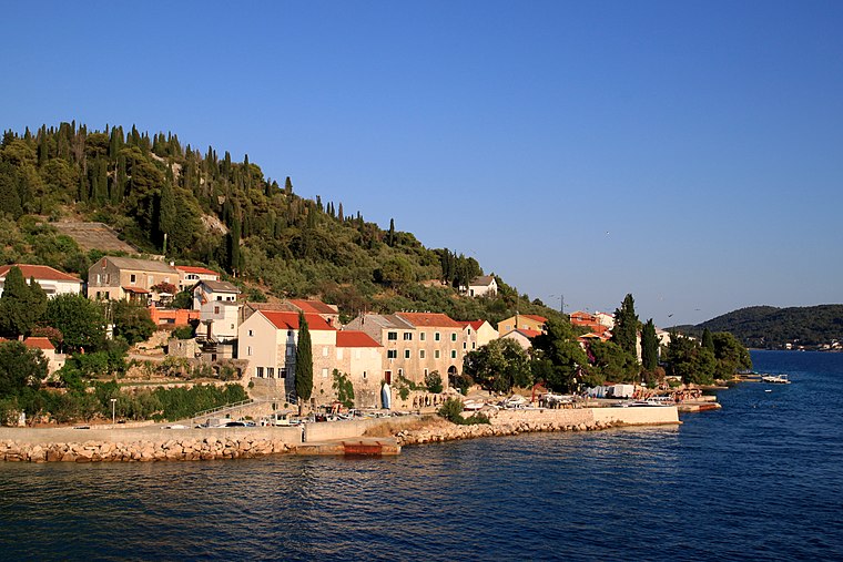
Photo: Lovro Rumiha, CC BY 2.0.
Ošljak, Preko is a village, which is situated 4½ km southwest of Snack Café Mario.
Snack Café Mario
- Type: Café
- Location: Croatia, Balkans, Europe
- View on OpenStreetMap
Latitude
44.11296° or 44° 6′ 47″ northLongitude
15.2291° or 15° 13′ 45″ eastOpen location code
8FPQ467H+5JOpenStreetMap ID
node 2418992316OpenStreetMap feature
amenity=cafe
This page is based on OpenStreetMap, Wikidata, and Wikimedia Commons.
We’d love your help improving our open data sources. Thank you for contributing.
Satellite Map
Discover Snack Café Mario from above in high-definition satellite imagery.
Notable Places Nearby
Highlights include Trg Petra Zoranića and Roman pillar.
Nearby Places
Explore places such as Pet bunara and Proto food and more.
Croatia: Must-Visit Destinations
Delve into Zagreb, Dubrovnik, Split, and Rijeka.
Curious Cafés to Discover
Uncover intriguing cafés from every corner of the globe.
About Mapcarta. Data © OpenStreetMap contributors and available under the Open Database License". Text is available under the CC BY-SA 4.0 license, except for photos, directions, and the map. Photo: Wikimedia, CC BY-SA 3.0.