Pöllauer Ursprungsquelle
Pöllauer Ursprungsquelle is in Neumarkt in der Steiermark, Murau District, Styria. Pöllauer Ursprungsquelle is situated nearby to Hochofen, as well as near the cemetery Friedhof Sankt Marein bei Neumarkt.| Tap on a place to explore it |
Places of Interest Nearby
Highlights include Pfarrkirche Pöllau and Feichterkreuz, St. Marein bei Neumarkt.
Pfarrkirche Pöllau
Church
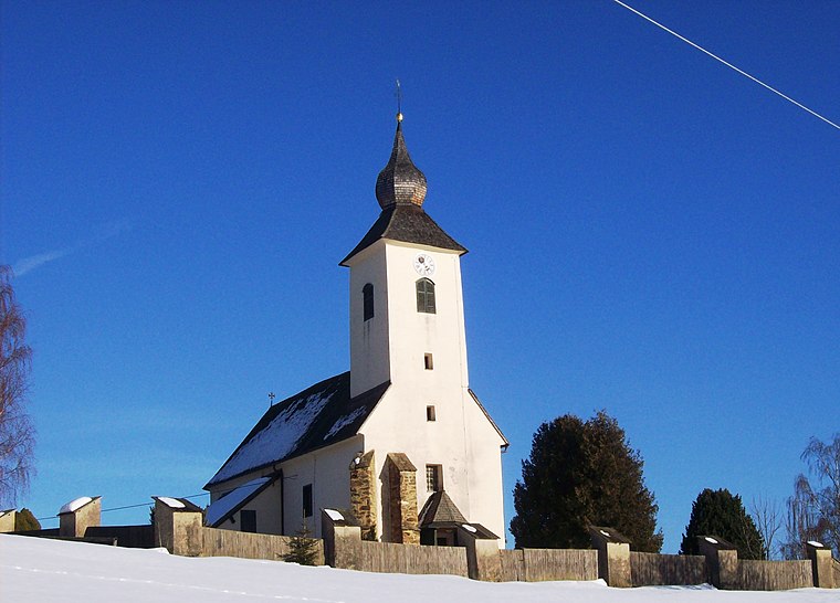
Photo: Krennh1, CC BY-SA 3.0 at.
Pfarrkirche Pöllau is a church, which is situated 1 km east of Pöllauer Ursprungsquelle.
Feichterkreuz, St. Marein bei Neumarkt
Wayside shrine

Photo: Krennh1, CC BY-SA 3.0.
Feichterkreuz, St. Marein bei Neumarkt is a wayside shrine, which is situated 1 km northeast of Pöllauer Ursprungsquelle.
Grebenzen
Peak

Photo: Matthias Janz, CC BY 3.0.
Grebenzen is a peak, which is situated 3 km west of Pöllauer Ursprungsquelle.
Places in the Area
Nearby places include Zeutschach and Sankt Marein bei Neumarkt.
Zeutschach
Hamlet

Photo: Christian Pirkl, CC BY-SA 4.0.
Zeutschach is a former municipality in the district of Murau in Styria, Austria. Since the 2015 Styria municipal structural reform, it is part of the municipality Neumarkt in der Steiermark. Zeutschach is situated 4 km north of Pöllauer Ursprungsquelle.
Sankt Marein bei Neumarkt
Village

Photo: Mediocrity, Public domain.
Sankt Marein bei Neumarkt is a former municipality in the district of Murau in the Austrian state of Styria. Since the 2015 Styria municipal structural reform, it is part of the municipality Neumarkt in der Steiermark. Sankt Marein bei Neumarkt is situated 5 km northeast of Pöllauer Ursprungsquelle.
Friesach
 Friesach is a historic town in the Sankt Veit an der Glan district of Carinthia, Austria. First mentioned in an 860 deed, it is known as the oldest town in Carinthia.
Pöllauer Ursprungsquelle
- Type: Tourist attraction
- Category: tourism
- Location: Neumarkt in der Steiermark, Murau District, Styria, Austria, Central Europe, Europe
- View on OpenStreetMap
Latitude
47.03548° or 47° 2′ 8″ northLongitude
14.37383° or 14° 22′ 26″ eastOpen location code
8FVP29PF+5GOpenStreetMap ID
node 248211122OpenStreetMap feature
tourism=attraction
This page is based on OpenStreetMap, Wikidata, and Wikimedia Commons.
We’d love your help improving our open data sources. Thank you for contributing.
Satellite Map
Discover Pöllauer Ursprungsquelle from above in high-definition satellite imagery.
Notable Places Nearby
Highlights include Pöllauer Ursprungsquelle and Hochofen.
Nearby Places
Explore places such as Buchmoar and Pöllauerhof.
Styria: Must-Visit Destinations
Delve into Graz, Leoben, Bruck an der Mur, and Kapfenberg.
Curious Places to Discover
Uncover intriguing places from every corner of the globe.
About Mapcarta. Data © OpenStreetMap contributors and available under the Open Database License". Text is available under the CC BY-SA 4.0 license, except for photos, directions, and the map. Photo: Kmarka, CC BY-SA 3.0.