Knockarigg Demesne
Knockarigg Demesne is a locality in County Wicklow, Leinster. Knockarigg Demesne is situated nearby to the locality Burrow, as well as near Knockarigg Hill.| Tap on a place to explore it |
Places in the Area
Nearby places include Grangecon and Stratford.
Grangecon
Village

Photo: Sarah777, Public domain.
Grangecon is a village in County Wicklow, Ireland. It has a population of about 200 people, and is located between Baltinglass and Dunlavin.
Stratford
Village
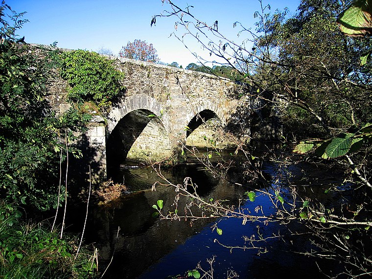
Photo: Sarah777, Public domain.
Stratford-on-Slaney, also known as Stratford or Stratford-upon-Slaney, is a small village on the River Slaney in west County Wicklow in Ireland. It was built by the Earl of Aldborough from 1774. According to the census, the village had a population of 241. Stratford is situated 4 km east of Knockarigg Demesne.
Timolin
Village

Photo: Wikimedia, Public domain.
Timolin is a village in the south of County Kildare, Ireland. It is located off the R448 road, the former N9 road about 80 km south of Dublin. It is a small village, with less than a hundred inhabitants, one shop and two pubs. Timolin is situated 5 km west of Knockarigg Demesne.
Knockarigg Demesne
- Type: Locality
- Location: County Wicklow, Leinster, East Coast and Midlands, Ireland, Britain and Ireland, Europe
- View on OpenStreetMap
Latitude
52.98852° or 52° 59′ 19″ northLongitude
-6.73209° or 6° 43′ 56″ westOpen location code
9C4MX7Q9+C5OpenStreetMap ID
node 2492112734OpenStreetMap feature
place=locality
This page is based on OpenStreetMap, Wikidata, and Wikimedia Commons.
We’d love your help improving our open data sources. Thank you for contributing.
Satellite Map
Discover Knockarigg Demesne from above in high-definition satellite imagery.
Localities in the Area
Explore places such as Burrow and Knockarigg Hill.
Notable Places Nearby
Highlights include Grangecon A.F.C and Rathbran Cemetery.
County Wicklow: Must-Visit Destinations
Delve into Bray, Wicklow Town, Arklow, and Glendalough.
Curious Localities to Discover
Uncover intriguing localities from every corner of the globe.
About Mapcarta. Data © OpenStreetMap contributors and available under the Open Database License". Text is available under the CC BY-SA 4.0 license, except for photos, directions, and the map. Photo: Wikimedia, CC BY-SA 3.0.