Olga Dannenbaum
Olga Dannenbaum is a memorial in Dortmund, Arnsberg, North Rhine-Westphalia. Olga Dannenbaum is situated nearby to the police station Polizeiwache Lütgendortmund, as well as near the church Bartholomaeuskirche Lütgendortmund.| Tap on a place to explore it |
Places of Interest Nearby
Highlights include Bartholomaeuskirche Lütgendortmund and Dortmund-Lütgendortmund station.

Dortmund-Lütgendortmund station
Railway stop

Photo: Platte, CC BY-SA 4.0.
Dortmund-Lütgendortmund station is a single-track, underground terminal station in the city of Dortmund in the German state of North Rhine-Westphalia. The platform is accessible by stairs, escalator or lift. Dortmund-Lütgendortmund station is situated 240 metres northwest of Olga Dannenbaum.
St. Magdalena, Lütgendortmund
Church
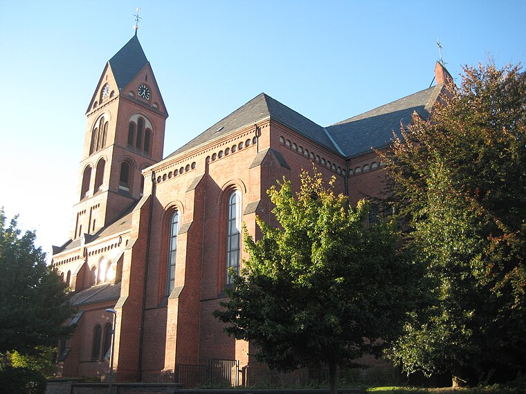
Photo: Die Singularität, CC BY-SA 3.0.
St. Magdalena, Lütgendortmund is a church, which is situated 310 metres west of Olga Dannenbaum.
Places in the Area
Nearby places include Kolonie Landwehr and Bochum-Werne.

Bochum-Werne
Suburb
Bochum-Werne is a district of the city of Bochum in the Ruhr area in North Rhine-Westphalia in Germany. Werne is in the East of Bochum, North of Langendreer. Werne borders the city of Dortmund. Bochum-Werne is situated 2½ km southwest of Olga Dannenbaum.
Düren
Hamlet

Photo: Morty, CC BY-SA 2.0 de.
Düren is a hamlet, which is situated 3 km southeast of Olga Dannenbaum.
Olga Dannenbaum
- Type: Memorial
- Wheelchair access: yes
- Category: historic site
- Location: Dortmund, Arnsberg, Ruhr, North Rhine-Westphalia, Germany, Central Europe, Europe
- View on OpenStreetMap
Latitude
51.49952° or 51° 29′ 58″ northLongitude
7.337° or 7° 20′ 13″ eastInception
February 5th, 2008Network
Stolpersteine in DortmundOpen location code
9F39F8XP+RQOpenStreetMap ID
node 2523353984OpenStreetMap feature
historic=memorialOpenStreetMap attribute
wheelchair=yes
This page is based on OpenStreetMap, Wikidata, and Wikimedia Commons.
We’d love your help improving our open data sources. Thank you for contributing.
Satellite Map
Discover Olga Dannenbaum from above in high-definition satellite imagery.
Notable Places Nearby
Highlights include Polizeiwache Lütgendortmund and Post.
Nearby Places
Explore places such as Risse and Weinverkauf Uecker.
Ruhr: Must-Visit Destinations
Delve into Essen, Duisburg, Gelsenkirchen, and Bochum.
Curious Memorials to Discover
Uncover intriguing memorials from every corner of the globe.
About Mapcarta. Data © OpenStreetMap contributors and available under the Open Database License". Text is available under the CC BY-SA 4.0 license, except for photos, directions, and the map. Photo: DortmunderWestfront, CC BY-SA 3.0.