Wehe
Wehe is a hamlet in Dötlingen, Oldenburg, Lower Saxony. Wehe is situated nearby to the hamlet Ohe, as well as near the village Neerstedt.| Tap on a place to explore it |
Places of Interest
Highlights include Hexenstein and Hatter Holz.

Hatter Holz
Nature reserve
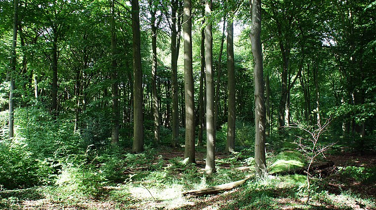
Photo: Ralf Krebs, CC BY 3.0.
Hatter Holz is a nature reserve, which is situated 3 km northwest of Wehe.
Geer Moor
Nature reserve

Photo: Ralf Krebs, CC BY 3.0.
Geer Moor is a nature reserve, which is situated 2½ km north of Wehe.
Places in the Area
Nearby places include Neerstedt and Barel.


Klattenhof
Suburb

Photo: Billboa, CC BY-SA 3.0.
Klattenhof is a suburb, which is situated 4½ km east of Wehe.
Wehe
- Type: Hamlet
- Description: human settlement in Germany
- Categories: Ortsteil and locality
- Location: Dötlingen, Oldenburg, Lower Saxony, Germany, Central Europe, Europe
- View on OpenStreetMap
Latitude
52.99312° or 52° 59′ 35″ northLongitude
8.39735° or 8° 23′ 51″ eastOpen location code
9F4CX9VW+6WOpenStreetMap ID
node 2531164412OpenStreetMap feature
place=hamletWikidata ID
Q15134627
This page is based on OpenStreetMap, Wikidata, and Wikimedia Commons.
We’d love your help improving our open data sources. Thank you for contributing.
Satellite Map
Discover Wehe from above in high-definition satellite imagery.
In Other Languages
From Dutch to Irish—“Wehe” goes by many names.
- Dutch: “Wehe”
- French: “Wehe”
- German: “Wehe (Dötlingen)”
- German: “Wehe”
- Irish: “Wehe (Dötlingen)”
Places with the Same Name
Discover other places named “Wehe”.
Localities in the Area
Explore places such as Hinter dem Wehe and Vor dem Wehe.
Notable Places Nearby
Highlights include Hexenbett and Schützenverein Neerstedt.
Lower Saxony: Must-Visit Destinations
Delve into Hanover, Göttingen, Brunswick, and Wolfsburg.
Curious Hamlets to Discover
Uncover intriguing hamlets from every corner of the globe.
About Mapcarta. Data © OpenStreetMap contributors and available under the Open Database License". Text is available under the CC BY-SA 4.0 license, except for photos, directions, and the map. Photo: Danapit, CC BY-SA 3.0.