Altes Badehaus
Altes Badehaus is a beer garden in Bad Dürrenberg, Saalekreis, Saxony-Anhalt. Altes Badehaus is situated nearby to the heritage site Witzlebenturm, as well as near Borlachmuseum.| Tap on a place to explore it |
Places of Interest Nearby
Highlights include Borlachmuseum and St. Bonifatius.
Borlachmuseum
Museum

Photo: Radler59, CC BY-SA 4.0.
Borlachmuseum is situated 100 metres southeast of Altes Badehaus.
St. Bonifatius
Church

Photo: DorisAntony, CC BY-SA 4.0.
St. Bonifatius is a church, which is situated 450 metres northeast of Altes Badehaus.
St. Laurentius (Bad Dürrenberg)
Church

Photo: Dguendel, CC BY-SA 3.0.
St. Laurentius (Bad Dürrenberg) is a church, which is situated 800 metres southeast of Altes Badehaus.
Places in the Area
Nearby places include Bad Dürrenberg and Leuna.
Bad Dürrenberg
Town

Photo: Wikimedia, CC BY-SA 3.0.
Bad Dürrenberg is a spa town in the Saalekreis district, in Saxony-Anhalt, Germany. It is situated on the river Saale, approx. 8 km southeast of Merseburg. It is known for its historic graduation tower, the largest one in Germany.
Leuna
Town
 Leuna is a town in Saxony-Anhalt, eastern Germany, south of Merseburg and Halle, on the river Saale. The town is known for the Leunawerke, at 13 km2 one of the biggest chemical industrial complexes in Germany, where a very wide range of chemicals and plastics is produced. Leuna is situated 4 km northwest of Altes Badehaus.
Oebles-Schlechtewitz
Village
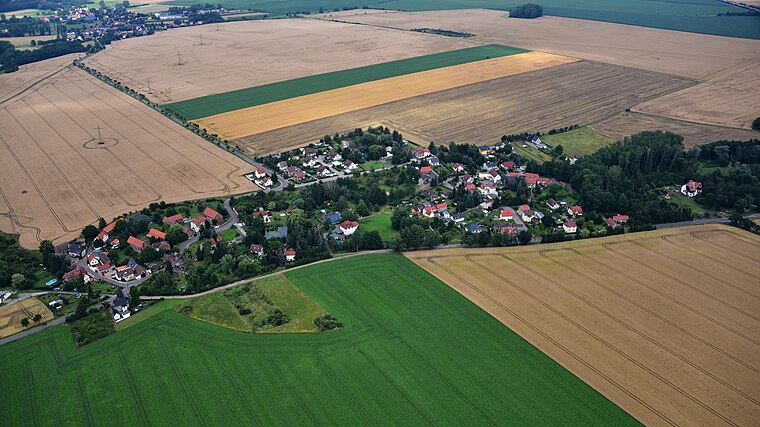
Photo: Wolkenkratzer, CC BY-SA 4.0.
Oebles-Schlechtewitz is a village, which is situated 4½ km south of Altes Badehaus.
Altes Badehaus
- Type: Beer garden
- Location: Bad Dürrenberg, Saalekreis, Saxony-Anhalt, Germany, Central Europe, Europe
- View on OpenStreetMap
Latitude
51.29722° or 51° 17′ 50″ northLongitude
12.05965° or 12° 3′ 35″ eastOpen location code
9F3J73W5+VVOpenStreetMap ID
node 253131440OpenStreetMap feature
amenity=biergarten
This page is based on OpenStreetMap, Wikidata, and Wikimedia Commons.
We’d love your help improving our open data sources. Thank you for contributing.
Satellite Map
Discover Altes Badehaus from above in high-definition satellite imagery.
Places with the Same Name
Discover other places named “Altes Badehaus”.
Notable Places Nearby
Highlights include Witzlebenturm and Ernst-Thälmann-Brücke.
Nearby Places
Explore places such as Hotel und Restaurant Altes Badehaus and Alter Fährhof Reihenhäuser.
Saxony-Anhalt: Must-Visit Destinations
Delve into Magdeburg, Halle, Wittenberg, and Quedlinburg.
Curious Beer Gardens to Discover
Uncover intriguing beer gardens from every corner of the globe.
About Mapcarta. Data © OpenStreetMap contributors and available under the Open Database License". Text is available under the CC BY-SA 4.0 license, except for photos, directions, and the map. Photo: GMM, Public domain.