Julius Hayum
Julius Hayum is a memorial in Dortmund, Arnsberg, North Rhine-Westphalia. Julius Hayum is situated nearby to the hospital Katholisches Krankenhaus Dortmund-West, as well as near the cemetery Friedhof Kirchlinde.| Tap on a place to explore it |
Places of Interest Nearby
Highlights include St. Josef and Bert-Brecht-Gymnasium.

Bert-Brecht-Gymnasium
School
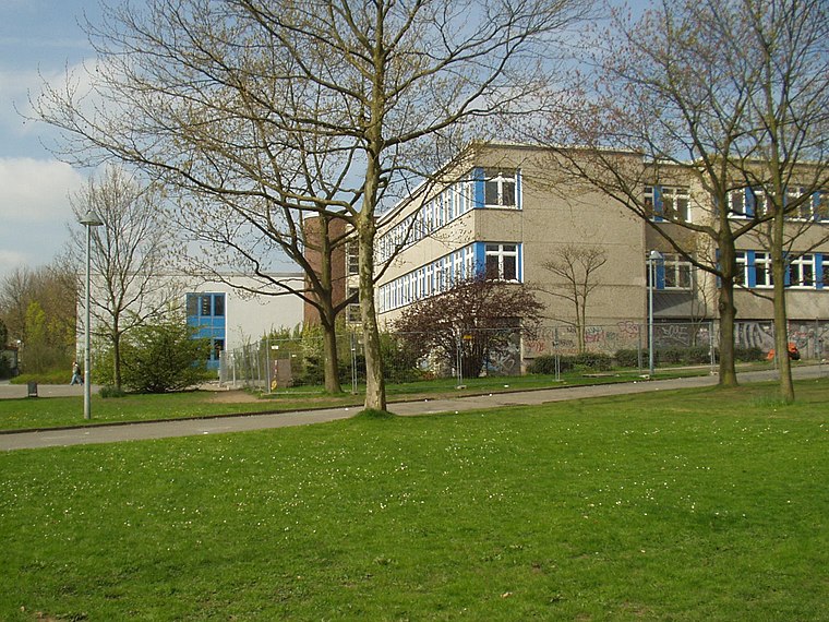
Photo: Wikimedia, CC BY-SA 3.0.
Bert-Brecht-Gymnasium is a school, which is situated 1 km south of Julius Hayum.
Dortmund-Marten station
Railway station

Photo: Stefan Flöper, CC BY-SA 4.0.
Dortmund-Marten station is a railway station in the Marten district of the town of Dortmund, located in North Rhine-Westphalia, Germany. It is classified by Deutsche Bahn as a category 6 station and was opened on 30 May 1964. Dortmund-Marten station is situated 1½ km southeast of Julius Hayum.
Places in the Area
Nearby places include Westerfilde and Kolonie Landwehr.


Huckarde
Suburb

Photo: Tbachner, Public domain.
Huckarde is a suburb, which is situated 3½ km east of Julius Hayum.
Julius Hayum
- Type: Memorial
- Wheelchair access: yes
- Category: historic site
- Location: Dortmund, Arnsberg, Ruhr, North Rhine-Westphalia, Germany, Central Europe, Europe
- View on OpenStreetMap
Latitude
51.52616° or 51° 31′ 34″ northLongitude
7.36435° or 7° 21′ 52″ eastInception
February 5th, 2008Network
Stolpersteine in DortmundOpen location code
9F39G9G7+FPOpenStreetMap ID
node 2531826577OpenStreetMap feature
historic=memorialOpenStreetMap attribute
wheelchair=yes
This page is based on OpenStreetMap, Wikidata, and Wikimedia Commons.
We’d love your help improving our open data sources. Thank you for contributing.
Satellite Map
Discover Julius Hayum from above in high-definition satellite imagery.
Notable Places Nearby
Highlights include Katholisches Krankenhaus Dortmund-West and Friedhof Kirchlinde.
Nearby Places
Explore places such as Rosa Hayum and Hulda Jenny Hayum.
Ruhr: Must-Visit Destinations
Delve into Essen, Duisburg, Bochum, and Gelsenkirchen.
Curious Memorials to Discover
Uncover intriguing memorials from every corner of the globe.
About Mapcarta. Data © OpenStreetMap contributors and available under the Open Database License". Text is available under the CC BY-SA 4.0 license, except for photos, directions, and the map. Photo: DortmunderWestfront, CC BY-SA 3.0.