Gols Kirche
Gols Kirche is a bus stop in Gols, Neusiedl am See District, Burgenland. Gols Kirche is situated nearby to the community center Evangelisch-Lutherisches Gemeindezentrum, as well as near the winery BioWeingut Lehner.| Tap on a place to explore it |
Places of Interest Nearby
Highlights include Weinkulturhaus, Tourismusinformation and Evangelische Pfarrkirche Gols.
Weinkulturhaus, Tourismusinformation
Tourism office

Photo: Bwag, CC BY-SA 3.0.
Weinkulturhaus, Tourismusinformation is a tourism office, which is situated 150 metres southwest of Gols Kirche.
Evangelische Pfarrkirche Gols
Church

Photo: Bwag, CC BY-SA 3.0.
Evangelische Pfarrkirche Gols is a church, which is situated 150 metres south of Gols Kirche.
Pfarrkirche hl. Jakobus der Ältere
Church
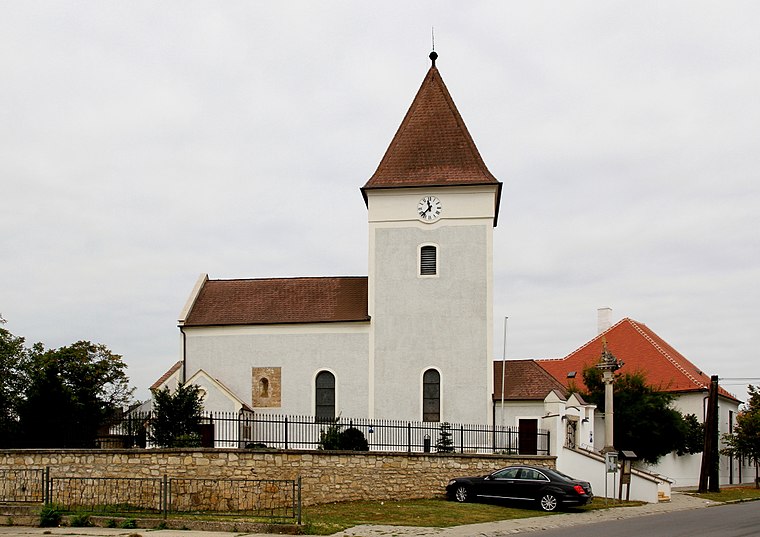
Photo: Bwag, CC BY-SA 3.0.
Pfarrkirche hl. Jakobus der Ältere is a church, which is situated 200 metres southwest of Gols Kirche.
Places in the Area
Nearby places include Halbturn and Neusiedl am See.
Halbturn
Village
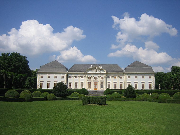
Photo: BambooBeast, Public domain.
Halbturn is a town in the district of Neusiedl am See in the Austrian state of Burgenland. It borders Hungary to the east and is near Andau, Gols, and Mönchof. Halbturn is situated 6 km southeast of Gols Kirche.
Neusiedl am See

Photo: Robert Heilinger, CC BY-SA 3.0.
Neusiedl am See is a city in the province of Burgenland in Austria, on the northern shore of the Neusiedler See.
Albertkázmérpuszta
Hamlet

Photo: Pasztilla, CC BY-SA 4.0.
Albertkázmérpuszta is a hamlet, which is situated 9 km southeast of Gols Kirche.
Gols Kirche
- Type: Bus stop
- Category: transportation
- Location: Gols, Neusiedl am See District, Burgenland, Austria, Central Europe, Europe
- View on OpenStreetMap
Latitude
47.89825° or 47° 53′ 54″ northLongitude
16.90884° or 16° 54′ 32″ eastNetwork
Verkehrsverbund Ost-RegionOpen location code
8FVRVWX5+7GOpenStreetMap ID
node 253306864OpenStreetMap feature
highway=bus_stopOpenStreetMap feature
public_transport=platform
This page is based on OpenStreetMap, Wikidata, and Wikimedia Commons.
We’d love your help improving our open data sources. Thank you for contributing.
Satellite Map
Discover Gols Kirche from above in high-definition satellite imagery.
Places with the Same Name
Discover other places named “Gols Kirche”.
Notable Places Nearby
Highlights include Evangelisch-Lutherisches Gemeindezentrum and BioWeingut Lehner.
Nearby Places
Explore places such as Gols Kirche and Bed & Breakfast Domizil Gols.
Burgenland: Must-Visit Destinations
Delve into Eisenstadt, Neusiedl am See, Rust, and Güssing.
Curious Bus Stops to Discover
Uncover intriguing bus stops from every corner of the globe.
About Mapcarta. Data © OpenStreetMap contributors and available under the Open Database License". Text is available under the CC BY-SA 4.0 license, except for photos, directions, and the map. Photo: Wikimedia, CC BY-SA 4.0.