Altitude du Mont-Blanc
Altitude du Mont-Blanc is in Saint-Gervais-les-Bains, Arrondissement of Bonneville, Auvergne-Rhône-Alpes. Altitude du Mont-Blanc is situated nearby to the police station Police municipale, as well as near the town hall Mairie de Saint-Gervais-les-Bains.| Tap on a place to explore it |
Places of Interest Nearby
Highlights include Église Saint-Gervais de Saint-Gervais-les-Bains and Maison forte de Hautetour.
Église Saint-Gervais de Saint-Gervais-les-Bains
Church

Photo: Jean-Pol GRANDMONT, CC BY 3.0.
Église Saint-Gervais de Saint-Gervais-les-Bains is a church.
Maison forte de Hautetour
Museum

Photo: MB-one, CC BY-SA 4.0.
Maison forte de Hautetour is a museum.
Viaduc de Saint-Gervais
Bridge

Photo: Siren-Com, CC BY-SA 3.0.
Viaduc de Saint-Gervais is a bridge, which is situated 250 metres northwest of Altitude du Mont-Blanc.
Places in the Area
Nearby places include Le Bettex (Saint-Gervais-les-Bains) and Le Champel.
Le Bettex (Saint-Gervais-les-Bains)
Locality
 Le Bettex (Saint-Gervais-les-Bains) is a locality, which is situated 3 km southwest of Altitude du Mont-Blanc.
Le Champel
Hamlet

Photo: Nicolas Vigier, CC BY 2.0.
Le Champel is a hamlet, which is situated 4 km southeast of Altitude du Mont-Blanc.
Passy
Town
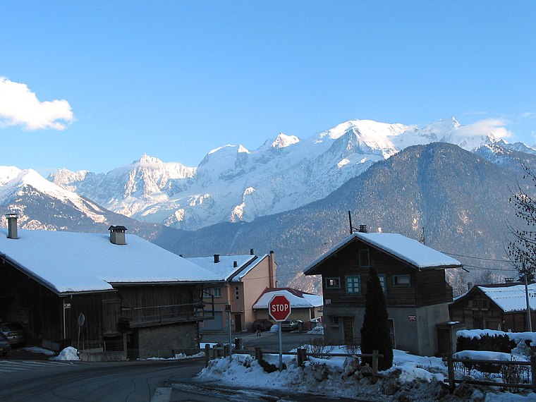
Photo: Jean-Pol GRANDMONT, CC BY 3.0.
Passy is a commune in the Haute-Savoie department in the Auvergne-Rhône-Alpes region in south-eastern France. It is part of the urban area of Sallanches. Passy is situated 4 km northwest of Altitude du Mont-Blanc.
Altitude du Mont-Blanc
- Type: Sign
- Categories: information and tourism
- Location: Saint-Gervais-les-Bains, Arrondissement of Bonneville, Haute-Savoie, Auvergne-Rhône-Alpes, France, Europe
- View on OpenStreetMap
Latitude
45.89201° or 45° 53′ 31″ northLongitude
6.71193° or 6° 42′ 43″ eastOpen location code
8FQ8VPR6+RQOpenStreetMap ID
node 2534562926OpenStreetMap feature
tourism=information
This page is based on OpenStreetMap, Wikidata, and Wikimedia Commons.
We’d love your help improving our open data sources. Thank you for contributing.
Satellite Map
Discover Altitude du Mont-Blanc from above in high-definition satellite imagery.
Notable Places Nearby
Highlights include Police municipale and Mairie de Saint-Gervais-les-Bains.
Nearby Places
Explore places such as L’Edelweiss and French Alps Market.
Haute-Savoie: Must-Visit Destinations
Delve into Chamonix, Annecy, Annemasse, and Evian.
Curious Places to Discover
Uncover intriguing places from every corner of the globe.
About Mapcarta. Data © OpenStreetMap contributors and available under the Open Database License". Text is available under the CC BY-SA 4.0 license, except for photos, directions, and the map. Photo: Jacek79, CC BY-SA 4.0.