P3 Tiefgarage
P3 Tiefgarage is a parking area in Trostberg, Traunstein, Bavaria. P3 Tiefgarage is situated nearby to the town hall Rathaus, as well as near the fountain Marktbrunnen.| Tap on a place to explore it |
- Type: Parking area
- Parking: underground
- Wheelchair access: no
Places of Interest Nearby
Highlights include St. Andreas and St. Sebastian.
St. Andreas
Church
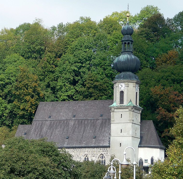
Photo: Konrad Lackerbeck, CC BY 3.0.
St. Andreas is a church, which is situated 170 metres west of P3 Tiefgarage.
St. Sebastian
Church

Photo: Renardo la vulpo, CC BY-SA 4.0.
St. Sebastian is a church, which is situated 330 metres west of P3 Tiefgarage.
St. Sixtus und Sebastian
Church

Photo: Ammerseer, CC BY-SA 3.0.
St. Sixtus und Sebastian is a church, which is situated 2 km northeast of P3 Tiefgarage.
Places in the Area
Nearby places include Schwarzau and Deinting.

Tinning
Village

Photo: Ammerseer, CC BY-SA 3.0.
Tinning is a village, which is situated 2½ km north of P3 Tiefgarage.
P3 Tiefgarage
- Category: transportation
- Location: Trostberg, Traunstein, Upper Bavaria, Bavaria, Germany, Central Europe, Europe
- View on OpenStreetMap
Latitude
48.02785° or 48° 1′ 40″ northLongitude
12.55498° or 12° 33′ 18″ eastOpen location code
8FWJ2HH3+4XOpenStreetMap ID
node 2555651017OpenStreetMap feature
amenity=parkingOpenStreetMap attribute
parking=undergroundOpenStreetMap attribute
wheelchair=no
This page is based on OpenStreetMap, Wikidata, and Wikimedia Commons.
We’d love your help improving our open data sources. Thank you for contributing.
Satellite Map
Discover P3 Tiefgarage from above in high-definition satellite imagery.
Places with the Same Name
Discover other places named “P3 Tiefgarage”.
Notable Places Nearby
Highlights include Rathaus and Marktbrunnen.
Nearby Places
Explore places such as P3 Altstadt and Flötenspieler.
Upper Bavaria: Must-Visit Destinations
Delve into Munich, Ingolstadt, Dachau, and Rosenheim.
Curious Parking Areas to Discover
Uncover intriguing parking areas from every corner of the globe.
About Mapcarta. Data © OpenStreetMap contributors and available under the Open Database License". Text is available under the CC BY-SA 4.0 license, except for photos, directions, and the map. Photo: Aconcagua, CC BY-SA 3.0.