Högerweg
Högerweg is a tram stop in Bremen, Germany. Högerweg is situated nearby to the playground Hollergrund, as well as near the police station Polizeirevier Horn.| Tap on a place to explore it |
Places of Interest Nearby
Highlights include Borgfeld church and Gut Landruhe.
Borgfeld church
Church

Photo: Joern M, CC BY-SA 3.0.
Borgfeld church is situated 1½ km northeast of Högerweg.
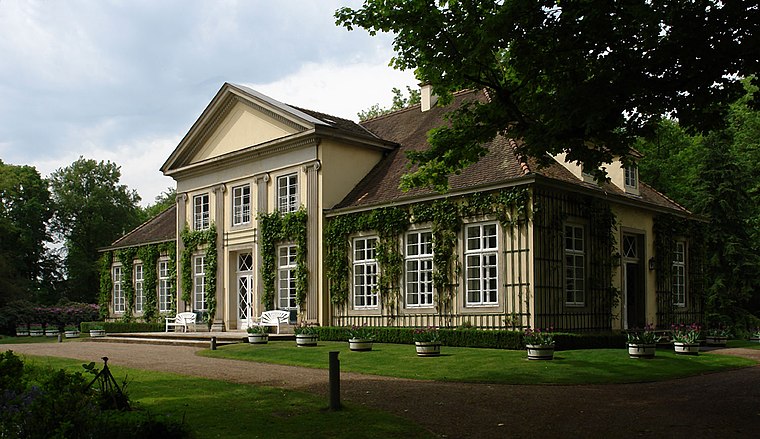
Horner Mühle
Windmill

Photo: Wikimedia, CC BY-SA 3.0.
Horner Mühle is a windmill, which is situated 2 km southwest of Högerweg.
Places in the Area
Nearby places include Borgfeld and Horn-Lehe.

Lilienthal
Town

Photo: Bukk, CC BY-SA 3.0.
Lilienthal is a municipality in the administrative district of Osterholz, Lower Saxony, Germany. It borders Bremen. Lilienthal is situated 3 km north of Högerweg.
Högerweg
- Type: Tram stop
- Categories: railway stop, transport stop, and transportation
- Location: Bremen, City state Bremen, Germany, Central Europe, Europe
- View on OpenStreetMap
Latitude
53.1155° or 53° 6′ 56″ northLongitude
8.89401° or 8° 53′ 38″ eastOpen location code
9F5C4V8V+5JOpenStreetMap ID
node 2568894539OpenStreetMap feature
public_transport=stop_positionOpenStreetMap feature
railway=tram_stop
This page is based on OpenStreetMap, Wikidata, and Wikimedia Commons.
We’d love your help improving our open data sources. Thank you for contributing.
Satellite Map
Discover Högerweg from above in high-definition satellite imagery.
Notable Places Nearby
Highlights include Hollergrund and Polizeirevier Horn.
Nearby Places
Explore places such as Högerweg and Höger.
Germany: Must-Visit Destinations
Delve into Berlin, Munich, Hamburg, and Frankfurt.
Curious Tram Stops to Discover
Uncover intriguing tram stops from every corner of the globe.
About Mapcarta. Data © OpenStreetMap contributors and available under the Open Database License". Text is available under the CC BY-SA 4.0 license, except for photos, directions, and the map. Photo: Dschwen, CC BY-SA 3.0.