Karakat
Karakat is an aul in the Turar Ryskulov District, Jambyl Region, Kazakhstan.| Tap on a place to explore it |
- Type: Hamlet
- Description: place in Jambyl Region, Kazakhstan
- Also known as: “Karakat, Jambyl Region” and “Октябрь-Чарва”
- Address: район Турара Рыскулова
Places in the Area
Nearby places include Kulan and Lugovoy.
Kulan
Village
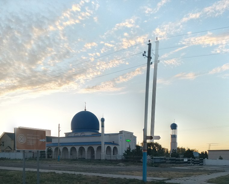
Photo: Bekjanbektenbai, CC BY 3.0.
Kulan, named Lugovoe until 1992, is a small town that is the administrative centre of the Turar Ryskulov District of the Jambyl Region of Kazakhstan. The train station in Kulan is located along the route that connects Taraz, Bishkek and Shu. Kulan is situated 3½ km northwest of Karakat.
Lugovoy
Village
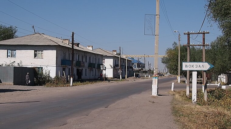
Photo: Man77, CC BY-SA 3.0.
Lugovoy is a village in the Turar Ryskulov District, Jambyl Region, Kazakhstan. Lugovoy is situated 6 km north of Karakat.
Karakat
- Categories: village of Kazakhstan and locality
- Location: Jambyl Region, Kazakhstan, Central Asia, Asia
- View on OpenStreetMap
Latitude
42.88863° or 42° 53′ 19″ northLongitude
72.74902° or 72° 44′ 57″ eastOpen location code
8JJJVPQX+FJOpenStreetMap ID
node 2583502100OpenStreetMap feature
place=hamletWikidata ID
Q13664236
This page is based on OpenStreetMap, Wikidata, Wikimedia Commons, and Wikipedia.
We’d love your help improving our open data sources. Thank you for contributing.
Satellite Map
Discover Karakat from above in high-definition satellite imagery.
In Other Languages
From Chechen to Uzbek—“Karakat” goes by many names.
- Chechen: “Каракат”
- Kazakh: “Қарақат”
- Persian: “قرهکات”
- Russian: “Каракат”
- Tatar: “Каракат (авыл)”
- Tatar: “Каракат”
- Ukrainian: “Каракат”
- Uzbek: “Qaraqat (ovul)”
- Uzbek: “Qaraqat”
Places with the Same Name
Discover other places named “Karakat”.
Localities in the Area
Explore places such as Еңбекші and Enbekshi.
Notable Places Nearby
Highlights include Ценральная Мечеть and Кулан базар.
Kazakhstan: Must-Visit Destinations
Delve into Astana, Almaty, Altai, and Karaganda.
Curious Hamlets to Discover
Uncover intriguing hamlets from every corner of the globe.
About Mapcarta. Data © OpenStreetMap contributors and available under the Open Database License". Text is available under the CC BY-SA 4.0 license, except for photos, directions, and the map. Description text is based on the Wikipedia page “Karakat”. Photo: Dmottl, CC BY-SA 3.0.