Wettbergstein
Wettbergstein is a memorial in Bad Münder, Hameln-Pyrmont, Lower Saxony. Wettbergstein is situated nearby to the peak Steinberg, as well as near Sprenkelberg.| Tap on a place to explore it |
Places of Interest Nearby
Highlights include Anna-Tower and Bröhn.
Anna-Tower
Scenic viewpoint
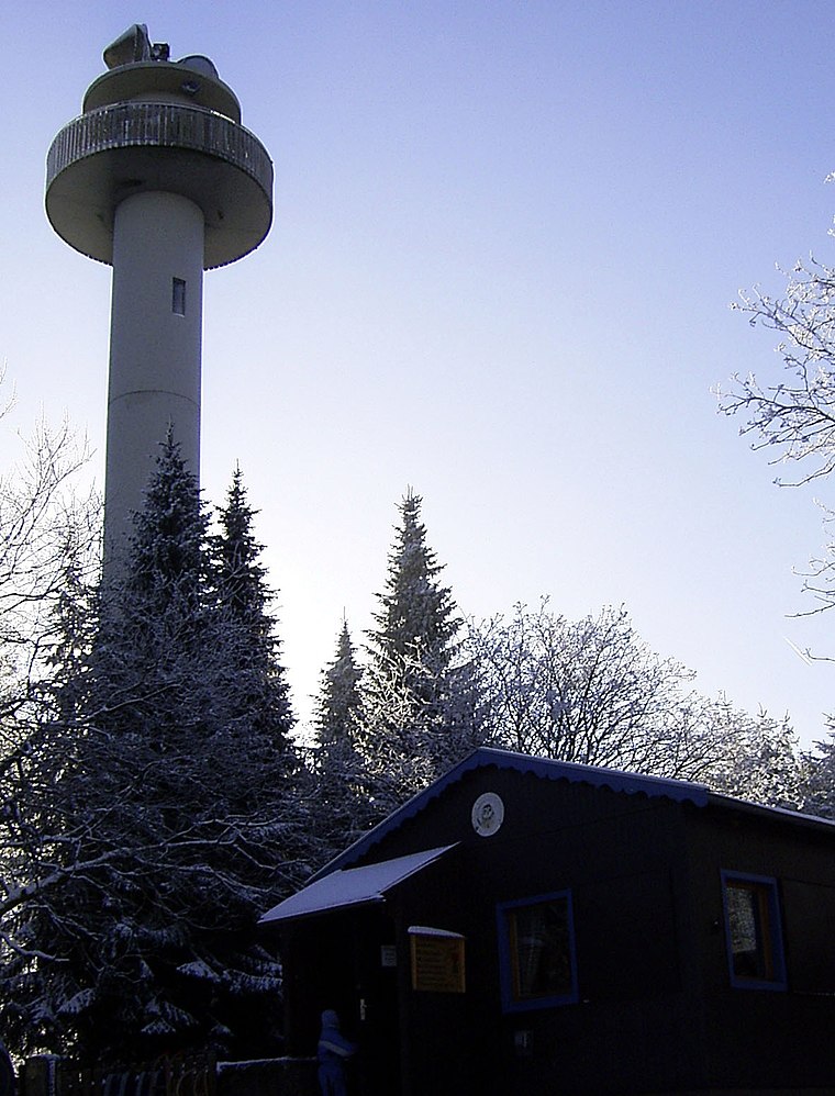
Photo: Tortuosa, CC BY-SA 3.0.
Anna-Tower is a scenic viewpoint, which is situated 2 km northeast of Wettbergstein.
Bröhn
Peak

Photo: Den man tau, CC BY-SA 3.0.
The Bröhn is the highest hill in the Deister range in the German state of Lower Saxony, reaching 405 metres. It owes its name to the broom growing here.
Meinsberg
Protected area

Photo: Den man tau, CC BY-SA 4.0.
Meinsberg is a protected area, which is situated 2 km southeast of Wettbergstein.
Places in the Area
Nearby places include Luttringhausen and Nienstedt.
Luttringhausen
Village

Photo: Losch, CC BY-SA 3.0.
Luttringhausen is a village, which is situated 3½ km southwest of Wettbergstein.
Nienstedt
Village

Photo: AxelHH, Public domain.
Nienstedt is a village, which is situated 3½ km northwest of Wettbergstein.

Wettbergstein
- Type: Memorial
- Category: historic site
- Location: Bad Münder, Hameln-Pyrmont, Lower Saxony, Germany, Central Europe, Europe
- View on OpenStreetMap
Latitude
52.23613° or 52° 14′ 10″ northLongitude
9.48868° or 9° 29′ 19″ eastOpen location code
9F4F6FPQ+FFOpenStreetMap ID
node 2612042813OpenStreetMap feature
historic=memorial
This page is based on OpenStreetMap, Wikidata, and Wikimedia Commons.
We’d love your help improving our open data sources. Thank you for contributing.
Satellite Map
Discover Wettbergstein from above in high-definition satellite imagery.
Notable Places Nearby
Highlights include Steinberg and Sprenkelberg.
Nearby Places
Explore places such as Martensplatz and 82-01.
Lower Saxony: Must-Visit Destinations
Delve into Hanover, Göttingen, Brunswick, and Wolfsburg.
Curious Memorials to Discover
Uncover intriguing memorials from every corner of the globe.
About Mapcarta. Data © OpenStreetMap contributors and available under the Open Database License". Text is available under the CC BY-SA 4.0 license, except for photos, directions, and the map. Photo: Danapit, CC BY-SA 3.0.