stamatzbänkle
stamatzbänkle is a picnic site in Suhl, Thuringia. stamatzbänkle is situated nearby to Ottilien Chapel, as well as near Touringen Stempelstelle 70 - Friedrich-Gangzug.| Tap on a place to explore it |
Places of Interest Nearby
Highlights include Ottilien Chapel and Bismarck Tower.
Ottilien Chapel
Chapel

Photo: Störfix, CC BY-SA 3.0 de.
Ottilien Chapel is situated 170 metres southeast of stamatzbänkle.
Bismarck Tower
Scenic viewpoint

Photo: Molgreen, CC BY-SA 4.0.
Bismarck Tower is a scenic viewpoint, which is situated 450 metres northwest of stamatzbänkle.
Congress Centrum Suhl
Convention center
 Congress Centrum Suhl is a convention center, which is situated 520 metres southwest of stamatzbänkle.
Places in the Area
Nearby places include Lauter and Heinrichs.

Heinrichs
Suburb
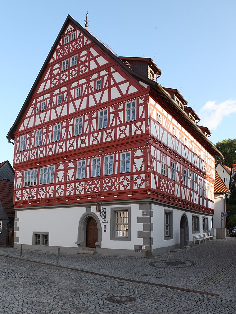
Photo: Störfix, CC BY-SA 3.0 de.
Heinrichs is a suburb, which is situated 3 km southwest of stamatzbänkle.
Albrechts
Village

Photo: Störfix, CC BY-SA 3.0 de.
Albrechts is a village, which is situated 3½ km west of stamatzbänkle.
stamatzbänkle
- Type: Picnic site
- Category: tourism
- Location: Suhl, Thuringia, Germany, Central Europe, Europe
- View on OpenStreetMap
Latitude
50.61459° or 50° 36′ 53″ northLongitude
10.69089° or 10° 41′ 27″ eastOpen location code
9F2GJM7R+R9OpenStreetMap ID
node 2642804438OpenStreetMap feature
tourism=picnic_site
This page is based on OpenStreetMap, Wikidata, and Wikimedia Commons.
We’d love your help improving our open data sources. Thank you for contributing.
Satellite Map
Discover stamatzbänkle from above in high-definition satellite imagery.
Notable Places Nearby
Highlights include Touringen Stempelstelle 70 - Friedrich-Gangzug and Ottilienstein.
Nearby Places
Explore places such as Bästleinplatz and Bergbauwanderweg Domberg-Sauerberg.
Curious Picnic Sites to Discover
Uncover intriguing picnic sites from every corner of the globe.
About Mapcarta. Data © OpenStreetMap contributors and available under the Open Database License". Text is available under the CC BY-SA 4.0 license, except for photos, directions, and the map. Photo: A.Savin, FAL.