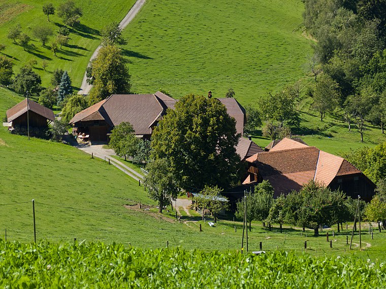
Nidegg
Nidegg is in Schwarzenburg District, Bern-Mittelland, Canton of Bern and has an elevation of 807 metres. Nidegg is situated nearby to Schiessstand, as well as near the forest Gschneithölzli.| Tap on a place to explore it |
Places of Interest Nearby
Highlights include Riedburg castle ruin and Lanzenhäusern railway station.
Riedburg castle ruin
Castle

Photo: Ginkgo2g, CC BY-SA 4.0.
Riedburg castle ruin is situated 2 km northwest of Nidegg.
Lanzenhäusern railway station
Railway station
 Lanzenhäusern railway station is a railway station in the municipality of Schwarzenburg, in the Swiss canton of Bern. It is an intermediate stop on the standard gauge Bern–Schwarzenburg line of BLS AG. Lanzenhäusern railway station is situated 2½ km west of Nidegg.
Mittelhäusern railway station
Railway station
 Mittelhäusern railway station is a railway station in the municipality of Köniz, in the Swiss canton of Bern. It is an intermediate stop on the standard gauge Bern–Schwarzenburg line of BLS AG. Mittelhäusern railway station is situated 3 km north of Nidegg.
Places in the Area
Nearby places include Oberbalm and Wahlern.
Oberbalm
Village
 Oberbalm, is a municipality in the Bern-Mittelland administrative district in the canton of Bern in Switzerland. Oberbalm is situated 3 km northeast of Nidegg.
Wahlern
Village

Photo: Ikiwaner, CC BY-SA 3.0.
Wahlern is a former municipality of the canton of Bern in Switzerland and seat of the Bern-Mittelland administrative district. On 1 January 2011, the former municipalities of Wahlern and Albligen merged in the new municipality of Schwarzenburg. Wahlern is situated 3½ km southwest of Nidegg.
Niederscherli
Suburb

Photo: Jschinke, CC BY-SA 3.0.
Niederscherli is a suburb, which is situated 4 km north of Nidegg.
Nidegg
- Type: Sign
- Categories: information and tourism
- Location: Schwarzenburg District, Bern-Mittelland, Canton of Bern, Switzerland, Central Europe, Europe
- View on OpenStreetMap
Latitude
46.85101° or 46° 51′ 4″ northLongitude
7.38033° or 7° 22′ 49″ eastElevation
807 metres (2,648 feet)Open location code
8FR9V92J+C4OpenStreetMap ID
node 2669243367OpenStreetMap feature
tourism=information
This page is based on OpenStreetMap, Wikidata, and Wikimedia Commons.
We’d love your help improving our open data sources. Thank you for contributing.
Satellite Map
Discover Nidegg from above in high-definition satellite imagery.
Places with the Same Name
Discover other places named “Nidegg”.
Notable Places Nearby
Highlights include Schiessstand and Zwingherrenbogen.
Nearby Places
Explore places such as Moosfluh and Holleracker.
Switzerland: Must-Visit Destinations
Delve into Zurich, Berne, Geneva, and Basel.
Curious Places to Discover
Uncover intriguing places from every corner of the globe.
About Mapcarta. Data © OpenStreetMap contributors and available under the Open Database License". Text is available under the CC BY-SA 4.0 license, except for photos, directions, and the map. Photo: Simonizer, CC BY-SA 2.0 de.