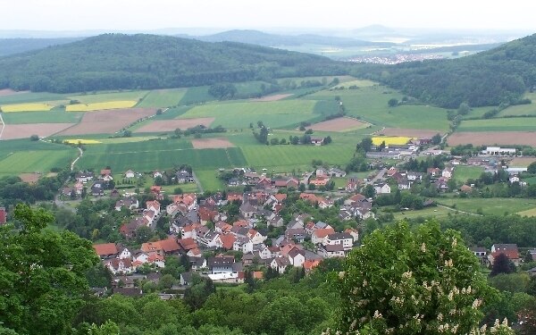
Lauseküppel
Lauseküppel is a peak in Bad Emstal, Kassel, Hesse and has an elevation of 376 metres. Lauseküppel is situated nearby to the village Sand, as well as near the locality Engels Ruh.| Tap on a place to explore it |
Places of Interest
Highlights include Altenburg and Falkenstein Castle.
Altenburg
Archaeological site

Photo: Armin Schönewolf, Public domain.
The Altenburg is a hill in the county of Schwalm-Eder-Kreis, Hesse, Germany. On its flat hilltop are the remains of a fairly large, fortified settlement from the Bronze Age and Iron Age.
Falkenstein Castle
Archaeological site

Photo: Armin Schönewolf, Public domain.
Falkenstein Castle near Bad Emstal is a castle in Hesse, Germany.
Lauseküppel
- Type: Peak with an elevation of 376 metres
- Category: landform
- Location: Bad Emstal, Kassel, Hesse, Germany, Central Europe, Europe
- View on OpenStreetMap
Latitude
51.2549° or 51° 15′ 18″ northLongitude
9.2632° or 9° 15′ 48″ eastElevation
376 metres (1,234 feet)Open location code
9F3F7737+X7OpenStreetMap ID
node 2671460988OpenStreetMap feature
natural=peak
This page is based on OpenStreetMap, Wikidata, and Wikimedia Commons.
We’d love your help improving our open data sources. Thank you for contributing.
Satellite Map
Discover Lauseküppel from above in high-definition satellite imagery.
Localities in the Area
Explore places such as Sand and Engels Ruh.
Notable Places Nearby
Highlights include Bad Emstal-Sand and Spielplatz Unterste Eichen.
Hesse: Must-Visit Destinations
Delve into Frankfurt, Wiesbaden, Darmstadt, and Kassel.
Curious Peaks to Discover
Uncover intriguing peaks from every corner of the globe.
About Mapcarta. Data © OpenStreetMap contributors and available under the Open Database License". Text is available under the CC BY-SA 4.0 license, except for photos, directions, and the map. Photo: Pedelecs, CC BY-SA 3.0.