Schneestern
Schneestern is a guest house in Suhl, Thuringia. Schneestern is situated nearby to the government office Behördenzentrum Suhl, as well as near Finanzamt Südthüringen.| Tap on a place to explore it |
Places of Interest Nearby
Highlights include Suhl station and Hotel Goldener Hirsch.
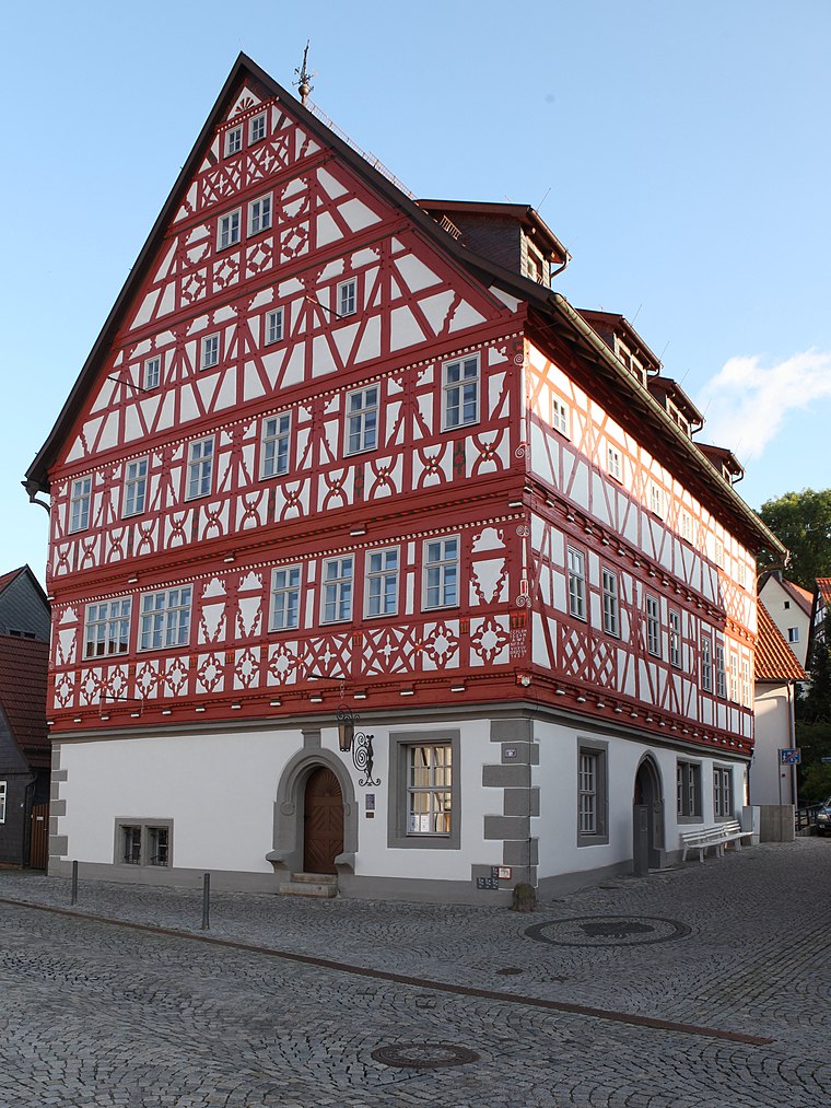
Suhl station
Railway station
 Suhl station is a railway station in Suhl, Thuringia, Germany. Suhl station is situated 420 metres northwest of Schneestern.
Hotel Goldener Hirsch
Hotel

Photo: Strubbl, CC BY-SA 4.0.
Hotel Goldener Hirsch is situated 300 metres southeast of Schneestern.
St. Kilian
Church

Photo: Störfix, CC BY-SA 3.0 de.
St. Kilian is a church, which is situated 490 metres northeast of Schneestern.
Places in the Area
Nearby places include Heinrichs and Lauter.
Lauter
Suburb

Photo: Störfix, CC BY-SA 3.0 de.
Lauter is a suburb, which is situated 3 km northeast of Schneestern.
Albrechts
Village

Photo: Störfix, CC BY-SA 3.0 de.
Albrechts is a village, which is situated 3½ km northwest of Schneestern.
Schneestern
- Type: Guest house
- Wheelchair access: no
- Categories: tourism, accommodation, and building
- Location: Suhl, Thuringia, Germany, Central Europe, Europe
- View on OpenStreetMap
Latitude
50.60181° or 50° 36′ 7″ northLongitude
10.68579° or 10° 41′ 9″ eastOpen location code
9F2GJM2P+P8OpenStreetMap ID
node 2674575517OpenStreetMap feature
tourism=guest_houseOpenStreetMap attribute
wheelchair=no
This page is based on OpenStreetMap, Wikidata, and Wikimedia Commons.
We’d love your help improving our open data sources. Thank you for contributing.
Satellite Map
Discover Schneestern from above in high-definition satellite imagery.
Places with the Same Name
Discover other places named “Schneestern”.
Notable Places Nearby
Highlights include Behördenzentrum Suhl and Finanzamt Südthüringen.
Nearby Places
Explore places such as Auto Rick and Private Fachschule für Wirtschaft und Soziales Suhl II.
Curious Guest Houses to Discover
Uncover intriguing guest houses from every corner of the globe.
About Mapcarta. Data © OpenStreetMap contributors and available under the Open Database License". Text is available under the CC BY-SA 4.0 license, except for photos, directions, and the map. Photo: A.Savin, FAL.