Basauri
Basauri is a railway stop in Basauri, Biscay, Basque Country. Basauri is situated nearby to Arizgoitiko plaza / Plaza de Arizgoiti, as well as near the community center Centro Civico Gizarte Etxea.| Tap on a place to explore it |
Places of Interest Nearby
Highlights include Basauri and Social Antzokia.
Basauri
Metro station
 Basauri is the southern terminus of line 2 of the Bilbao metro. The station is located in the municipality of Basauri, part of the Bilbao metropolitan area.
Social Antzokia
Theater building
 Social Antzokia is a theater building, which is situated 360 metres east of Basauri.
Malmasín
Peak
 Malmasín is a mountain located in the Basque Autonomous Community, between Arrigorriaga, Basauri and Bilbao.
Places in the Area
Nearby places include Basauri and Etxebarri.
Basauri
Town

Photo: Alan, CC BY-SA 3.0.
Basauri is a major municipality of Biscay, in the Basque Country, an Autonomous Community in northern Spain. The town is a part of the Greater Bilbao conurbation, being only a few kilometers south of Bilbao.
Etxebarri
Town
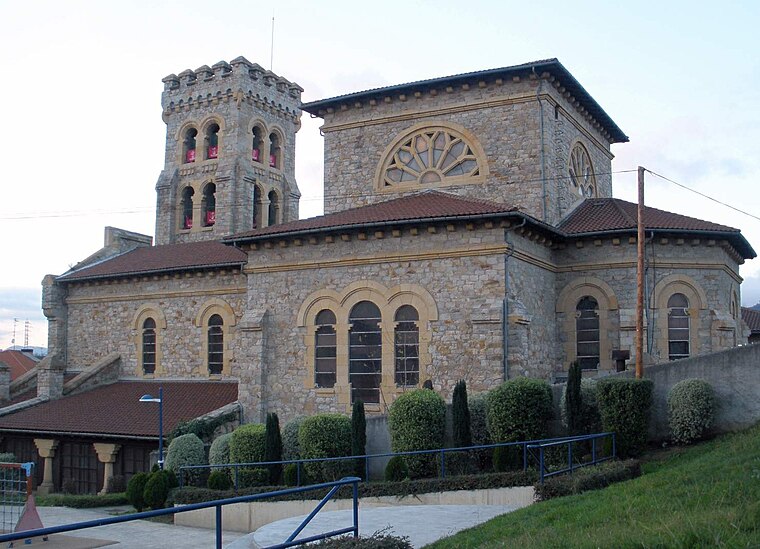
Photo: Zarateman, CC BY-SA 4.0.
Etxebarri, Doneztebeko Elizatea is a town and municipality located in the province of Biscay, in the Autonomous Basque Community, in the North of Spain.

Basauri
- Type: Railway stop
- Wheelchair access: yes
- Categories: transport stop and transportation
- Location: Basauri, Biscay, Basque Country, Northern Spain, Spain, Iberia, Europe
- View on OpenStreetMap
Latitude
43.23624° or 43° 14′ 11″ northLongitude
-2.89347° or 2° 53′ 37″ westOperator
Metro Bilbao S.A.Network
Metro BilbaoOpen location code
8CMV64P4+FJOpenStreetMap ID
node 2675831573OpenStreetMap feature
public_transport=stop_positionOpenStreetMap feature
railway=stopOpenStreetMap attribute
wheelchair=yes
This page is based on OpenStreetMap, Wikidata, and Wikimedia Commons.
We’d love your help improving our open data sources. Thank you for contributing.
Satellite Map
Discover Basauri from above in high-definition satellite imagery.
Places with the Same Name
Discover other places named “Basauri”.
Notable Places Nearby
Highlights include INSS Basauri and Basauriko udaletxea / Ayuntamiento de Basauri.
Nearby Places
Explore places such as Basauri and Araceli María Jiménez Hernández.
Basque Country: Must-Visit Destinations
Delve into Bilbao, San Sebastián, Vitoria-Gasteiz, and Guernica.
Curious Railway Stops to Discover
Uncover intriguing railway stops from every corner of the globe.
About Mapcarta. Data © OpenStreetMap contributors and available under the Open Database License". Text is available under the CC BY-SA 4.0 license, except for photos, directions, and the map. Photo: Ander Abadia Zallo, CC BY 4.0.