Centro de Salud de Miller Bajo
Centro de Salud de Miller Bajo is a clinic in Las Palmas, Gran Canaria. Centro de Salud de Miller Bajo is situated nearby to the park Plaza del Escorial, as well as near Plaza de la Paz 12 de Marzo.| Tap on a place to explore it |
Places of Interest Nearby
Highlights include Castillo de San Francisco and Estadio Alfonso Silva.
Castillo de San Francisco
Castle

Photo: Raffaesalva, CC BY-SA 4.0.
Castillo de San Francisco is a castle, which is situated 1 km east of Centro de Salud de Miller Bajo.
Estadio Alfonso Silva
Stadium
 Estadio Alfonso Silva is a stadium, which is situated 1 km northwest of Centro de Salud de Miller Bajo.
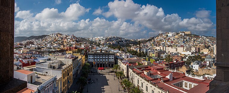
Las Palmas Cathedral
Church

Photo: Sailko, CC BY-SA 3.0.
The Cathedral of Santa Ana is a Roman Catholic church located in Las Palmas, Canary Islands. The cathedral is the see of the Roman Catholic Diocese of Canarias. Las Palmas Cathedral is situated 2 km east of Centro de Salud de Miller Bajo.
Places in the Area
Nearby places include La Feria del Atlántico and Triana.


Centro de Salud de Miller Bajo
- Type: Clinic
- Category: health care
- Location: Las Palmas, Las Palmas, Gran Canaria, Canary Islands, Spain, Iberia, Europe
- View on OpenStreetMap
Latitude
28.10361° or 28° 6′ 13″ northLongitude
-15.43324° or 15° 25′ 60″ westOpen location code
7CW64H38+CPOpenStreetMap ID
node 2678534949OpenStreetMap feature
amenity=clinicOpenStreetMap feature
healthcare=clinic
This page is based on OpenStreetMap, Wikidata, and Wikimedia Commons.
We’d love your help improving our open data sources. Thank you for contributing.
Satellite Map
Discover Centro de Salud de Miller Bajo from above in high-definition satellite imagery.
Notable Places Nearby
Highlights include Plaza del Escorial and Plaza de la Paz 12 de Marzo.
Nearby Places
Explore places such as Bar restaurante Jardín de Corvo and Protección Civil.
Gran Canaria: Must-Visit Destinations
Delve into Telde, Ingenio, Maspalomas, and Playa del Inglés.
Curious Clinics to Discover
Uncover intriguing clinics from every corner of the globe.
About Mapcarta. Data © OpenStreetMap contributors and available under the Open Database License". Text is available under the CC BY-SA 4.0 license, except for photos, directions, and the map. Photo: Gino maccanti, CC BY 2.0.