Linsenbünd
Linsenbünd is a locality in Rheinmünster, Rastatt, Baden-Württemberg. Linsenbünd is situated nearby to the locality Martacker, as well as near Leimenstück.| Tap on a place to explore it |
Places of Interest
Highlights include Münster Schwarzach and Rheinknie Alter Kopfgrund.

Rheinknie Alter Kopfgrund
Protected area

Photo: Ikar.us, CC BY 3.0 de.
Rheinknie Alter Kopfgrund is a protected area, which is situated 3½ km west of Linsenbünd.
Église Saint-Laurent de Dalhunden
Church
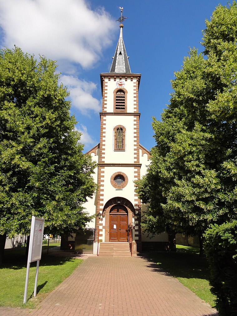
Photo: Ralph Hammann, CC BY-SA 4.0.
Église Saint-Laurent de Dalhunden is a church, which is situated 4 km northwest of Linsenbünd.
Places in the Area
Nearby places include Hildmannsfeld and Grauelsbaum.
Hildmannsfeld
Village

Photo: Gerd Eichmann, CC BY-SA 4.0.
Hildmannsfeld is a village, which is situated 3 km southeast of Linsenbünd.
Grauelsbaum
Village

Photo: Gerd Eichmann, CC BY-SA 4.0.
Grauelsbaum is a village, which is situated 4 km southwest of Linsenbünd.
Scherzheim
Village

Photo: SBL1980, CC BY-SA 3.0 de.
Scherzheim is a village, which is situated 5 km southwest of Linsenbünd.
Linsenbünd
- Type: Locality
- Location: Rheinmünster, Rastatt, Karlsruhe Region, Baden-Württemberg, Germany, Central Europe, Europe
- View on OpenStreetMap
Latitude
48.75381° or 48° 45′ 14″ northLongitude
8.03093° or 8° 1′ 51″ eastOpen location code
8FWCQ23J+G9OpenStreetMap ID
node 2685496430OpenStreetMap feature
place=locality
This page is based on OpenStreetMap, Wikidata, and Wikimedia Commons.
We’d love your help improving our open data sources. Thank you for contributing.
Satellite Map
Discover Linsenbünd from above in high-definition satellite imagery.
Localities in the Area
Explore places such as Martacker and Leimenstück.
Notable Places Nearby
Highlights include AG Schwarzach ‘In der Grube’ and Sickergrube.
Baden-Württemberg: Must-Visit Destinations
Delve into Stuttgart, Heidelberg, Karlsruhe, and Mannheim.
Curious Localities to Discover
Uncover intriguing localities from every corner of the globe.
About Mapcarta. Data © OpenStreetMap contributors and available under the Open Database License". Text is available under the CC BY-SA 4.0 license, except for photos, directions, and the map. Photo: Traveler100, CC BY-SA 3.0.