Frenker-Hackfort
Frenker-Hackfort is a car wash in Ahaus, Borken, North Rhine-Westphalia. Frenker-Hackfort is situated nearby to the water park Freibad Alstätte, as well as near the meadow Schützenplatz BGB.| Tap on a place to explore it |
Places of Interest Nearby
Highlights include St. Mariä Himmelfahrt and Haarmühle.
St. Mariä Himmelfahrt
Church

Photo: Tubantia, CC BY-SA 3.0.
St. Mariä Himmelfahrt is a church, which is situated 1 km south of Frenker-Hackfort.
Haarmühle
Watermill

Photo: Gouwenaar, Public domain.
Haarmühle is a watermill, which is situated 2½ km west of Frenker-Hackfort.
Places in the Area
Nearby places include Lünten and Buurse.
Lünten
Village
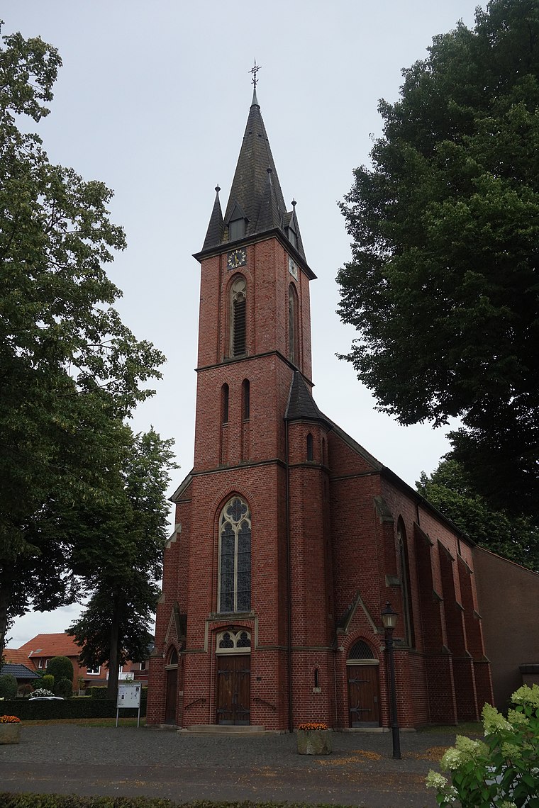
Photo: Vysotsky, CC BY-SA 4.0.
Lünten is a village, which is situated 5 km southwest of Frenker-Hackfort.

Broekheurne
Hamlet

Photo: Wikimedia, CC BY-SA 4.0.
Broekheurne is a hamlet, which is situated 6 km northwest of Frenker-Hackfort.
Frenker-Hackfort
- Type: Car wash
- Category: transportation
- Location: Ahaus, Borken, Münster, North Rhine-Westphalia, Germany, Central Europe, Europe
- View on OpenStreetMap
Latitude
52.13565° or 52° 8′ 8″ northLongitude
6.91044° or 6° 54′ 38″ eastOpen location code
9F484WP6+75OpenStreetMap ID
node 2689469808OpenStreetMap feature
amenity=car_wash
This page is based on OpenStreetMap, Wikidata, and Wikimedia Commons.
We’d love your help improving our open data sources. Thank you for contributing.
Satellite Map
Discover Frenker-Hackfort from above in high-definition satellite imagery.
Notable Places Nearby
Highlights include Freibad Alstätte and Schützenplatz BGB.
Nearby Places
Explore places such as Autohaus Frenker-Hackfort and Frenker-Hackfort Auto Reparatur.
North Rhine-Westphalia: Must-Visit Destinations
Delve into Cologne, Düsseldorf, Bonn, and Dortmund.
Curious Car Washes to Discover
Uncover intriguing car washes from every corner of the globe.
About Mapcarta. Data © OpenStreetMap contributors and available under the Open Database License". Text is available under the CC BY-SA 4.0 license, except for photos, directions, and the map. Photo: Daniel Schwen, CC BY-SA 2.5.