Cargadero de la Franco-Belga
Cargadero de la Franco-Belga is a work of art in Erandio, Biscay, Basque Country. Cargadero de la Franco-Belga is situated nearby to Parque Zamalanda Parkea, as well as near the playground Parque de juegos Cargadero.| Tap on a place to explore it |
Places of Interest Nearby
Highlights include Estadio de Lasesarre and Desierto-Baracaldo.
Estadio de Lasesarre
Stadium
 Lasesarre is a stadium in Barakaldo, Spain. It is currently used for football matches and is the home stadium of Barakaldo CF. The stadium holds 7,960 spectators. Estadio de Lasesarre is situated 1 km northwest of Cargadero de la Franco-Belga.
Desierto-Baracaldo
Railway station
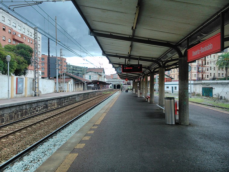
Photo: Laukatu, CC BY-SA 3.0.
Desierto-Baracaldo is a railway station, which is situated 1 km northwest of Cargadero de la Franco-Belga.
Los Fueros Boulevard
Shopping center

Photo: Vanbasten 23, CC BY-SA 3.0.
Los Fueros Boulevard is a shopping center, which is situated 690 metres west of Cargadero de la Franco-Belga.
Places in the Area
Nearby places include Larrea and Lutxana-Enekuri.


Erandio
Town
 Erandio is a town and municipality located in the province of Biscay, in the autonomous community of Basque Country, northern Spain.
Cargadero de la Franco-Belga
- Type: Work of art
- Category: tourism
- Location: Erandio, Biscay, Basque Country, Northern Spain, Spain, Iberia, Europe
- View on OpenStreetMap
Latitude
43.2966° or 43° 17′ 48″ northLongitude
-2.97605° or 2° 58′ 34″ westInception
1886Open location code
8CMV72WF+JHOpenStreetMap ID
node 2704634599OpenStreetMap feature
tourism=artwork
This page is based on OpenStreetMap, Wikidata, and Wikimedia Commons.
We’d love your help improving our open data sources. Thank you for contributing.
Satellite Map
Discover Cargadero de la Franco-Belga from above in high-definition satellite imagery.
Notable Places Nearby
Highlights include Parque Zamalanda Parkea and Parque de juegos Cargadero.
Nearby Places
Explore places such as Cargadero de La Orconera Iron Ore and Nebulizadores para refrescarse en verano.
Basque Country: Must-Visit Destinations
Delve into Bilbao, San Sebastián, Vitoria-Gasteiz, and Guernica.
Curious Work Of Arts to Discover
Uncover intriguing work of arts from every corner of the globe.
About Mapcarta. Data © OpenStreetMap contributors and available under the Open Database License". Text is available under the CC BY-SA 4.0 license, except for photos, directions, and the map. Photo: Ander Abadia Zallo, CC BY 4.0.