additional car parking for Burncoat Park
additional car parking for Burncoat Park is a parking area in Worcester, Massachusetts. additional car parking for Burncoat Park is situated nearby to Burncoat Park Pond, as well as near Wawecus Pond.| Tap on a place to explore it |
Places of Interest Nearby
Highlights include Burncoat High School and Worcester State Hospital.
Burncoat High School
School

Photo: Tim Pierce, CC BY-SA 3.0.
Burncoat High School is a public magnet high school in Worcester, Massachusetts, in the United States. The school was formerly known as Burncoat Senior High School chiefly to distinguish it from the adjacent Burncoat Junior High School, now Burncoat Middle School. Burncoat High School is situated 1,600 feet northwest of additional car parking for Burncoat Park.
Worcester State Hospital
Hospital

Photo: Bree Bailey, CC BY-SA 2.0.
Worcester State Hospital was a Massachusetts state mental hospital located in Worcester, Massachusetts. It is credited to the architectural firm of Weston & Rand. Worcester State Hospital is situated 1¼ miles southeast of additional car parking for Burncoat Park.
Green Hill Park Shelter
Shelter

Photo: Faolin42, CC BY-SA 3.0.
The Green Hill Park Shelter is a historic picnic shelter in Green Hill Park, the largest city park of Worcester, Massachusetts. It was designed by architect George H. Green Hill Park Shelter is situated 1 mile south of additional car parking for Burncoat Park.
Places in the Area
Nearby places include Massachusetts Avenue Historic District and Hammond Heights.
Massachusetts Avenue Historic District
Neighborhood

Photo: Pvmoutside, CC BY-SA 3.0.
The Massachusetts Avenue Historic District in Worcester, Massachusetts is a 5-acre historic district that was listed on the National Register of Historic Places in 1971. Massachusetts Avenue Historic District is situated 2 miles southwest of additional car parking for Burncoat Park.
Hammond Heights
Hamlet
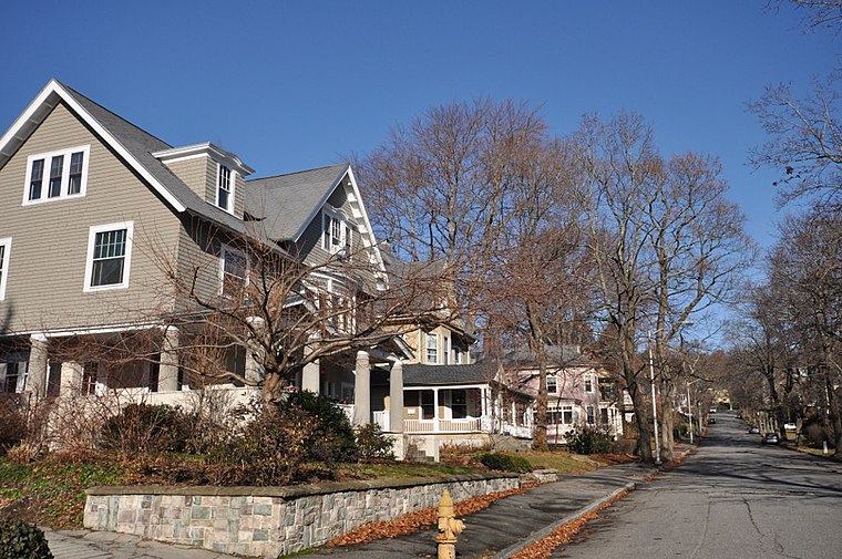
Photo: Magicpiano, CC BY-SA 4.0.
Hammond Heights is an historic neighborhood subdivision on the west side of Worcester, Massachusetts. It includes properties along Germain, Haviland, Highland, and Westland Streets and Institute Road, most of which were built between 1890 and 1918, and is a good example of a turn-of-the-century residential subdivision, with a diversity of period architectural styles. Hammond Heights is situated 2 miles southwest of additional car parking for Burncoat Park.
Lincoln Estate–Elm Park Historic District
Neighborhood

Photo: Faolin42, CC BY-SA 3.0.
The Lincoln Estate–Elm Park Historic District is an expansive residential area in northwestern Worcester, Massachusetts. It is centered on Cedar and William Streets, and includes properties on adjacent streets. Lincoln Estate–Elm Park Historic District is situated 2 miles southwest of additional car parking for Burncoat Park.
additional car parking for Burncoat Park
- Type: Parking area
- Parking: surface
- Category: transportation
- Location: Worcester, Massachusetts, New England, United States, North America
- View on OpenStreetMap
Latitude
42.29432° or 42° 17′ 40″ northLongitude
-71.78531° or 71° 47′ 7″ westOpen location code
87JC76V7+PVOpenStreetMap ID
node 2714773711OpenStreetMap feature
amenity=parkingOpenStreetMap attribute
parking=surface
This page is based on OpenStreetMap, Wikidata, and Wikimedia Commons.
We’d love your help improving our open data sources. Thank you for contributing.
Satellite Map
Discover additional car parking for Burncoat Park from above in high-definition satellite imagery.
Notable Places Nearby
Highlights include Burncoat Park Pond and Wawecus Pond.
Nearby Places
Explore places such as The Hanover Insurance Group and Burncoat Middle & High School.
Massachusetts: Must-Visit Destinations
Delve into Boston, Cambridge, Springfield, and Worcester.
Curious Parking Areas to Discover
Uncover intriguing parking areas from every corner of the globe.
About Mapcarta. Data © OpenStreetMap contributors and available under the Open Database License". Text is available under the CC BY-SA 4.0 license, except for photos, directions, and the map. Photo: papadunes, CC BY-SA 3.0.