Tramstrasse
Tramstrasse is a bus stop in Uetikon am See, Meilen District, Canton of Zurich. Tramstrasse is situated nearby to the sports venue Sporthalle Riedwies, as well as near the playground Spielplatz Spielgruppe Sunneburg.| Tap on a place to explore it |
Places of Interest Nearby
Highlights include Kantonsschule Uetikon and Reformed church.
Kantonsschule Uetikon
School
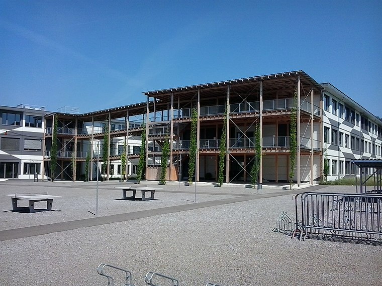
Photo: Eruedin, CC BY-SA 4.0.
Kantonsschule Uetikon is a school, which is situated 270 metres southwest of Tramstrasse.
Reformed church
Church

Photo: Parpan05, CC BY-SA 3.0.
Reformed church is situated 430 metres south of Tramstrasse.
Uetikon railway station
Railway station
 Uetikon is a railway station in the Swiss canton of Zurich, on the eastern shore of Lake Zurich. The station takes its name from the municipality of Uetikon am See, and is located on the border of that municipality and the adjoining municipality of Männedorf. Uetikon railway station is situated 720 metres south of Tramstrasse.
Places in the Area
Nearby places include Uetikon am See and Männedorf.
Uetikon am See
Village

Photo: Iotatau, CC BY-SA 3.0.
Uetikon am See is a municipality in the district of Meilen in the canton of Zürich in Switzerland.
Männedorf
Town

Photo: Iotatau, CC BY-SA 3.0.
Männedorf is a municipality in the district of Meilen in the canton of Zürich in Switzerland.
Meilen
Town
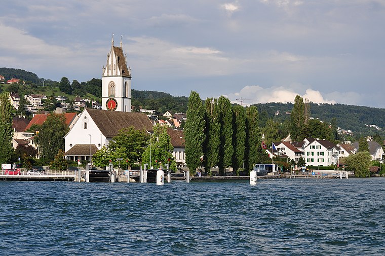
Photo: Roland zh, CC BY-SA 3.0.
Meilen is a municipality in the district of Meilen in the canton of Zürich in Switzerland. Meilen is situated 3 km west of Tramstrasse.
Tramstrasse
- Type: Bus stop
- Categories: transport stop and transportation
- Location: Uetikon am See, Meilen District, Canton of Zurich, Switzerland, Central Europe, Europe
- View on OpenStreetMap
Latitude
47.26557° or 47° 15′ 56″ northLongitude
8.67802° or 8° 40′ 41″ eastElevation
450 metres (1,476 feet)Network
Zurich Transport NetworkOpen location code
8FVC7M8H+66OpenStreetMap ID
node 2721786045OpenStreetMap feature
highway=bus_stopOpenStreetMap feature
public_transport=stop_position
This page is based on OpenStreetMap, Wikidata, and Wikimedia Commons.
We’d love your help improving our open data sources. Thank you for contributing.
Satellite Map
Discover Tramstrasse from above in high-definition satellite imagery.
Notable Places Nearby
Highlights include Sporthalle Riedwies and Platz der Schweiz.
Nearby Places
Explore places such as Feuerwehr Männedorf-Uetikon and Cinque Terre.
Switzerland: Must-Visit Destinations
Delve into Zurich, Berne, Geneva, and Basel.
Curious Bus Stops to Discover
Uncover intriguing bus stops from every corner of the globe.
About Mapcarta. Data © OpenStreetMap contributors and available under the Open Database License". Text is available under the CC BY-SA 4.0 license, except for photos, directions, and the map. Photo: Wikimedia, CC0.