Kiosk Kamellebud
Kiosk Kamellebud is a kiosk in Leverkusen, Cologne District, North Rhine-Westphalia. Kiosk Kamellebud is situated nearby to the health club Fitbox, as well as near the church Evangelische Kirchengemeinde Leverkusen-Schlebusch.| Tap on a place to explore it |
Places of Interest Nearby
Highlights include Kirche zu Schlebusch and St. Andreas.
Kirche zu Schlebusch
Church
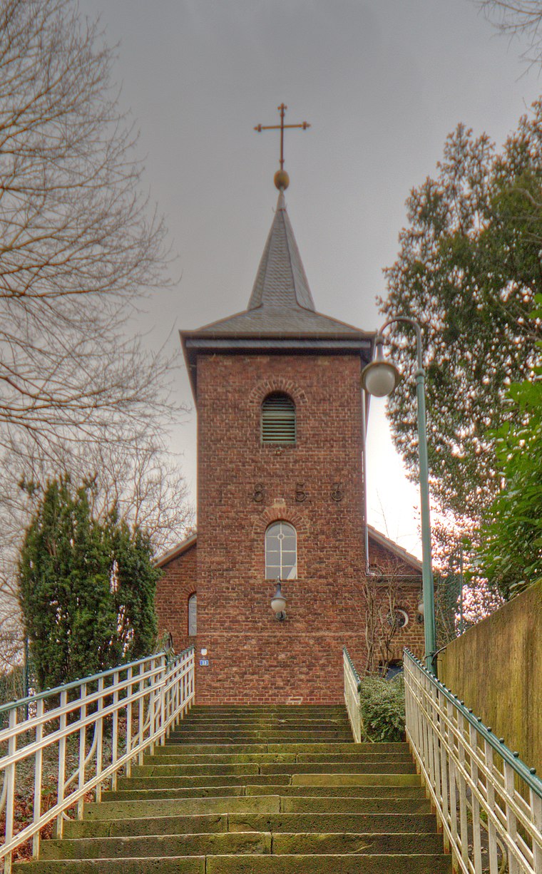
Photo: A.Savin, CC BY-SA 3.0.
Kirche zu Schlebusch is a church, which is situated 240 metres south of Kiosk Kamellebud.
St. Andreas
Church

Photo: A.Savin, CC BY-SA 3.0.
St. Andreas is a church, which is situated 300 metres northeast of Kiosk Kamellebud.
Freudenthaler Sensenhammer
Museum

Photo: Wikimedia, CC BY-SA 3.0.
Freudenthaler Sensenhammer is a museum, which is situated 570 metres southeast of Kiosk Kamellebud.
Places in the Area
Nearby places include Osenau and Biesenbach.

Biesenbach
Village

Photo: DiAuras, CC BY-SA 4.0.
Biesenbach is a village, which is situated 4 km north of Kiosk Kamellebud.
Odenthal
Town

Photo: A.Savin, CC BY-SA 3.0.
Odenthal is a municipality in the Rheinisch-Bergischer Kreis, in North Rhine-Westphalia, Germany. Odenthal is situated 5 km east of Kiosk Kamellebud.
Kiosk Kamellebud
- Type: Kiosk
- Wheelchair access: yes
- Category: shop
- Location: Leverkusen, Cologne District, Cologne Lowland, North Rhine-Westphalia, Germany, Central Europe, Europe
- View on OpenStreetMap
Latitude
51.03321° or 51° 1′ 60″ northLongitude
7.04761° or 7° 2′ 51″ eastOpen location code
9F3922MX+72OpenStreetMap ID
node 2733846384OpenStreetMap feature
shop=kioskOpenStreetMap attribute
wheelchair=yes
This page is based on OpenStreetMap, Wikidata, and Wikimedia Commons.
We’d love your help improving our open data sources. Thank you for contributing.
Satellite Map
Discover Kiosk Kamellebud from above in high-definition satellite imagery.
Notable Places Nearby
Highlights include Fitbox and Lindenplatz.
Nearby Places
Explore places such as Schuhmode Venezia and von-Diergardt-Straße.
Cologne Lowland: Must-Visit Destinations
Delve into Cologne, Bonn, Siegburg, and Bad Honnef.
Curious Kiosks to Discover
Uncover intriguing kiosks from every corner of the globe.
About Mapcarta. Data © OpenStreetMap contributors and available under the Open Database License". Text is available under the CC BY-SA 4.0 license, except for photos, directions, and the map. Photo: A.Savin, CC BY-SA 3.0.