Großsteingräber bei Huntlosen
Großsteingräber bei Huntlosen is an archaeological site in Großenkneten, Oldenburg, Lower Saxony. Großsteingräber bei Huntlosen is situated nearby to the stone Wiederaufforstung 1974-1982, as well as near the nature reserve Döhler Wehe.| Tap on a place to explore it |
Photo: Einsamer Schütze, CC BY-SA 3.0.
Places of Interest Nearby
Highlights include Döhler Wehe and Huntlosen railway station.

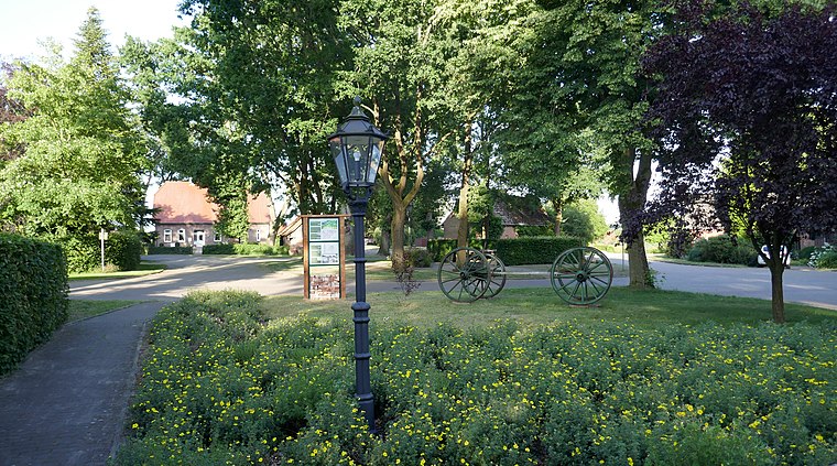
Huntlosen railway station
Railway station

Photo: WilfriedC, CC BY-SA 3.0.
Huntlosen railway station is situated 2 km northeast of Großsteingräber bei Huntlosen.
St. Briccius
Church

Photo: Wikimedia, Public domain.
St. Briccius is a church, which is situated 3 km east of Großsteingräber bei Huntlosen.
Places in the Area
Nearby places include Großenkneten and Osenberge.
Großenkneten
Village

Photo: WilfriedC, CC BY-SA 3.0.
Großenkneten is a municipality in the district of Oldenburg, in Lower Saxony, Germany. Großenkneten is situated 4½ km south of Großsteingräber bei Huntlosen.
Osenberge
Locality
The Osenberge is a dune region up to 23 m above sea level high in the district of Oldenburg, Lower Saxony. Osenberge is situated 6 km northeast of Großsteingräber bei Huntlosen.
Sandhatten
Village
 Sandhatten is a village, which is situated 6 km northeast of Großsteingräber bei Huntlosen.
Großsteingräber bei Huntlosen
- Type: Archaeological site
- Also known as: “Großsteingrab Huntlosen 1”, “Großsteingrab Wittenhöge”, and “Riesenbett”
- Categories: dolmen, historic site, tourist attraction, and tourism
- Location: Großenkneten, Oldenburg, Lower Saxony, Germany, Central Europe, Europe
- View on OpenStreetMap
Latitude
52.98309° or 52° 58′ 59″ northLongitude
8.23746° or 8° 14′ 15″ eastOpen location code
9F4CX6MP+6XOpenStreetMap ID
node 2735840120OpenStreetMap feature
historic=archaeological_siteWikidata ID
Q14594611
This page is based on OpenStreetMap, Wikidata, and Wikimedia Commons.
We’d love your help improving our open data sources. Thank you for contributing.
Satellite Map
Discover Großsteingräber bei Huntlosen from above in high-definition satellite imagery.
In Other Languages
“Großsteingräber bei Huntlosen” goes by many names.
- German: “Großsteingräber bei Huntlosen”
Notable Places Nearby
Highlights include Wiederaufforstung 1974-1982 and Bullerbäke.
Nearby Places
Explore places such as Hegeler Wald and Waldparkplatz Huntlosen.
Lower Saxony: Must-Visit Destinations
Delve into Hanover, Göttingen, Brunswick, and Wolfsburg.
Curious Archaeological Sites to Discover
Uncover intriguing archaeological sites from every corner of the globe.
About Mapcarta. Data © OpenStreetMap contributors and available under the Open Database License". Text is available under the CC BY-SA 4.0 license, except for photos, directions, and the map. Photo: Einsamer Schütze, CC BY-SA 3.0.