McGill Chevrolet
McGill Chevrolet is a car dealership in Town of Stonington, Southeastern Connecticut Planning Region, Connecticut. McGill Chevrolet is situated nearby to Donahue Park, as well as near the suburb Pawcatuck.| Tap on a place to explore it |
Places of Interest Nearby
Highlights include Westerly station and Westerly Armory.
Westerly station
Railway station

Photo: Pi.1415926535, CC BY-SA 3.0.
Westerly station is a passenger rail station on the Northeast Corridor located just north of downtown Westerly, Rhode Island. It is served exclusively by Amtrak's Northeast Regional service. Westerly station is situated 2,100 feet northeast of McGill Chevrolet.
Westerly Armory
Museum

Photo: Marcbela, Public domain.
The Westerly Armory is an historic National Guard armory building located on Railroad Avenue, west of downtown Westerly, Rhode Island. Westerly Armory is situated 2,900 feet northeast of McGill Chevrolet.
Babcock–Smith House
Museum
The Babcock–Smith House is a historic house in Westerly, Rhode Island. The house was built around 1734. Dr. Joshua Babcock, a correspondent with Benjamin Franklin, lived in the house and hosted both Franklin and General George Washington at the home. Babcock–Smith House is situated 1 mile southeast of McGill Chevrolet.
Places in the Area
Nearby places include Pawcatuck and Mechanic Street Historic District.
Pawcatuck
Suburb

Photo: Wikimedia, Public domain.
Pawcatuck is a village and census-designated place in the town of Stonington which is located in New London County, Connecticut, United States. The population was 5,624 at the 2010 census.
Mechanic Street Historic District
Neighborhood
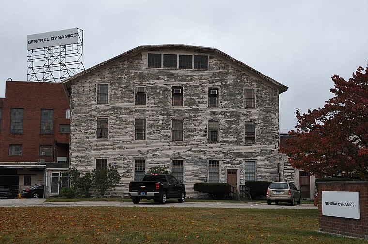
Photo: KLOTZ, CC BY-SA 4.0.
The Mechanic Street Historic District encompasses a historic 19th-century mill and mill village in a 14-block area of the Pawcatuck section of Stonington, Connecticut.
Westerly
 Westerly is a town on the southwestern shoreline of Washington County, Rhode Island. First settled by Elder John Crandall in 1661 it is believed that John Crandall named the town after his birthplace in Westerleigh, England.
McGill Chevrolet
- Type: Car dealership
- Categories: shop and transportation
- Location: Town of Stonington, Southeastern Connecticut Planning Region, Connecticut, New England, United States, North America
- View on OpenStreetMap
Latitude
41.37654° or 41° 22′ 36″ northLongitude
-71.83468° or 71° 50′ 5″ westOpen location code
87HC95G8+J4OpenStreetMap ID
node 2746004260OpenStreetMap feature
shop=car
This page is based on OpenStreetMap, Wikidata, and Wikimedia Commons.
We’d love your help improving our open data sources. Thank you for contributing.
Satellite Map
Discover McGill Chevrolet from above in high-definition satellite imagery.
Notable Places Nearby
Highlights include Donahue Park and Boat Launch.
Nearby Places
Explore places such as Mobil and Chelsea Groton.
Connecticut: Must-Visit Destinations
Delve into Hartford, New Haven, Bridgeport, and Stamford.
Curious Car Dealerships to Discover
Uncover intriguing car dealerships from every corner of the globe.
About Mapcarta. Data © OpenStreetMap contributors and available under the Open Database License". Text is available under the CC BY-SA 4.0 license, except for photos, directions, and the map. Photo: Wikimedia, CC0.