Cheti’s Curry
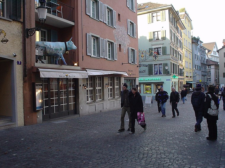
Cheti’s Curry is a restaurant in Zurich, Canton of Zurich which is located on Seefeldstrasse. Cheti’s Curry is situated nearby to the health club Yoga nation, as well as near Fitnesspark Stadelhofen.| Tap on a place to explore it |
- Opening hours: Monday—Friday 11:30 AM—2:30 PM and Tuesday—Wednesday 6:30 PM—9:30 PM and Thursday—Saturday 6:30 PM—10:00 PM
- Type: Restaurant
- Cuisine: Indian
- Address: Seefeldstrasse 7a, Zürich, 8008
- Wheelchair access: no
Places of Interest Nearby
Highlights include Zurich Opera House and Zurich Stadelhofen railway station.
Zurich Opera House
Theater building

Photo: Roland zh, CC BY-SA 3.0.
The Zurich Opera House is an opera house in the Swiss city of Zurich. Located at the Sechseläutenplatz, it has been the home of the Zurich Opera since 1891, and also houses the Bernhard-Theater Zürich. Zurich Opera House is situated 140 metres west of Cheti’s Curry.
Zurich Stadelhofen railway station
Railway station

Photo: Roland zh, CC BY-SA 3.0.
Zürich Stadelhofen railway station is an important local railway station in the city of Zurich. It is located on the Zurich-Rapperswil, Zürich-Winterthur, Zürich-Uster lines of the SBB CFF FFS. Zurich Stadelhofen railway station is situated 170 metres north of Cheti’s Curry.
Arthouse Piccadilly
Movie theater

Photo: Roland zh, CC BY-SA 3.0.
Arthouse Piccadilly is a movie theater, which is situated 100 metres north of Cheti’s Curry.
Places in the Area
Nearby places include Hottingen and Altstadt.
Hottingen
Suburb
Hottingen is a quarter in District 7 of Zurich. It was formerly a municipality of its own, but was incorporated into Zurich in 1893. The quarter has a population of 10,100 in an area of 5.05 square kilometres.
Altstadt
Suburb
The Altstadt in the Swiss city of Zurich encompasses the area of the entire historical city before 1893, before the incorporation of what are now districts 2 to 12 into the municipality, over the period 1893 to 1934.
Cheti’s Curry
- Category: food
- Location: Zurich, Zürich District, Canton of Zurich, Zurich, Switzerland, Central Europe, Europe
- View on OpenStreetMap
Latitude
47.36505° or 47° 21′ 54″ northLongitude
8.54866° or 8° 32′ 55″ eastOpen location code
8FVC9G8X+2FOpenStreetMap ID
node 275341574OpenStreetMap feature
amenity=restaurantOpenStreetMap attribute
cuisine=indianOpenStreetMap attribute
wheelchair=no
This page is based on OpenStreetMap, Wikidata, and Wikimedia Commons.
We’d love your help improving our open data sources. Thank you for contributing.
Satellite Map
Discover Cheti’s Curry from above in high-definition satellite imagery.
Notable Places Nearby
Highlights include Yoga nation and Fitnesspark Stadelhofen.
Nearby Places
Explore places such as Hüsler Nest Center and Beta Projekt Management AG.
Zurich: Must-Visit Destinations
Delve into Winterthur, Aarau, Zug, and Zurich Airport.
Curious Restaurants to Discover
Uncover intriguing restaurants from every corner of the globe.
About Mapcarta. Data © OpenStreetMap contributors and available under the Open Database License". Text is available under the CC BY-SA 4.0 license, except for photos, directions, and the map. Photo: ויקיג’אנקי, CC BY-SA 4.0.