Stein der Hoffnung
Stein der Hoffnung is a memorial in Bremen, Germany. Stein der Hoffnung is situated nearby to the garden Rosen für die Opfer, as well as near the building Haus Kapitän Dallmann.| Tap on a place to explore it |
Places of Interest Nearby
Highlights include Haus Kapitän Dallmann and St. Marien.

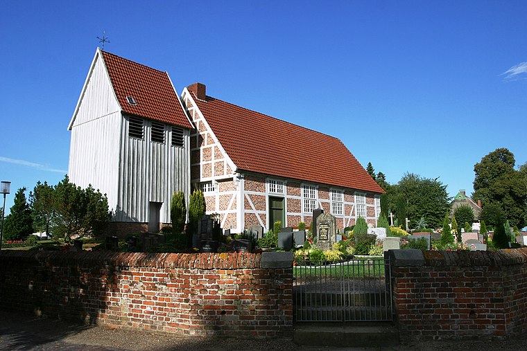
St. Marien
Church

Photo: Joern M, CC BY-SA 3.0.
St. Marien is a church, which is situated 780 metres east of Stein der Hoffnung.
Burg Blomendal
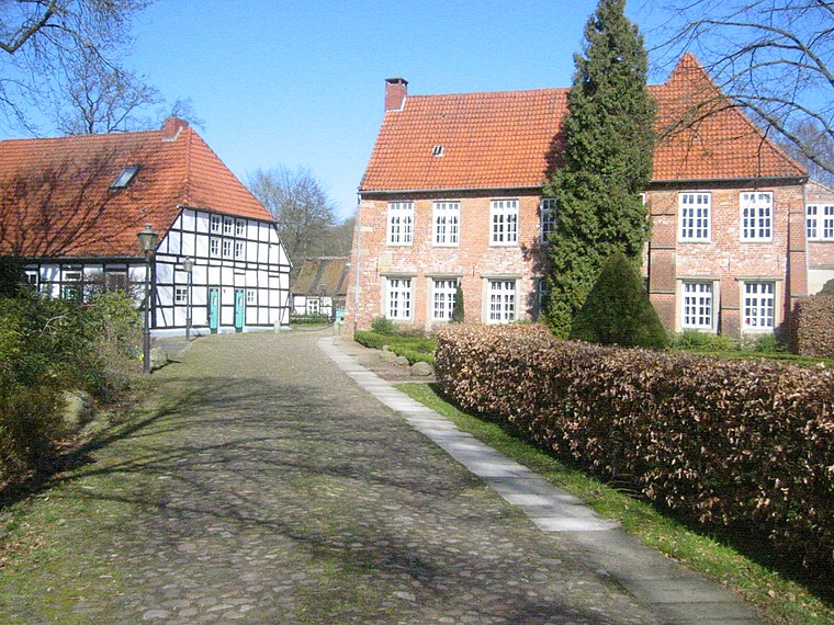
Photo: Wikimedia, Public domain.
Burg Blomendal is a medieval moated castle in the Bremen district of Blumenthal and the oldest secular building in Bremen. The name Blomendal is the Low German spelling of Blumenthal. Burg Blomendal is situated 1¼ km east of Stein der Hoffnung.
Places in the Area
Nearby places include Blumenthal and Motzen.
Stein der Hoffnung
- Type: Memorial
- Category: historic site
- Location: Bremen, City state Bremen, Germany, Central Europe, Europe
- View on OpenStreetMap
Latitude
53.1825° or 53° 10′ 57″ northLongitude
8.56362° or 8° 33′ 49″ eastInception
2009Open location code
9F5C5HJ7+XCOpenStreetMap ID
node 2778379036OpenStreetMap feature
historic=memorial
This page is based on OpenStreetMap, Wikidata, and Wikimedia Commons.
We’d love your help improving our open data sources. Thank you for contributing.
Satellite Map
Discover Stein der Hoffnung from above in high-definition satellite imagery.
Notable Places Nearby
Highlights include Rosen für die Opfer and Bahrsplate.
Nearby Places
Explore places such as Fähre Blumenthal and Bertholdstein.
Germany: Must-Visit Destinations
Delve into Berlin, Munich, Hamburg, and Frankfurt.
Curious Memorials to Discover
Uncover intriguing memorials from every corner of the globe.
About Mapcarta. Data © OpenStreetMap contributors and available under the Open Database License". Text is available under the CC BY-SA 4.0 license, except for photos, directions, and the map. Photo: Dschwen, CC BY-SA 3.0.