ΠΑΡΑΜΥΘΙΑΣ
ΠΑΡΑΜΥΘΙΑΣ is a bus stop in Agioi Anargyroi-Kamatero, Athens Prefecture, Attica. ΠΑΡΑΜΥΘΙΑΣ is situated nearby to the church Ιερός Ναός Αγίου Τρύφωνος, as well as near the park Πάρκο Ειρήνης.| Tap on a place to explore it |
Places of Interest Nearby
Highlights include National Rehabilitation Center and Lake Melia.
National Rehabilitation Center
Hospital

Photo: MARIOS KALYVIOTIS, CC BY-SA 4.0.
National Rehabilitation Center is a hospital, which is situated 1 km east of ΠΑΡΑΜΥΘΙΑΣ.
Lake Melia
Pond

Photo: AntonyFragakis, CC BY-SA 4.0.
Lake Melia is a pond, which is situated 1¼ km east of ΠΑΡΑΜΥΘΙΑΣ.
Lake Korykia
Pond

Photo: Nikos Roussos, CC BY-SA 2.0.
Lake Korykia is a pond, which is situated 1¼ km east of ΠΑΡΑΜΥΘΙΑΣ.
Places in the Area
Nearby places include Kamatero and Nea Liosia.
Kamatero
Suburb

Photo: Faraps, CC BY-SA 4.0.
Kamatero is a town and a suburb in the central-western part of the Athens agglomeration, Greece. Since the 2011 local government reform it is part of the municipality Agioi Anargyroi-Kamatero, of which it is a municipal unit.
Nea Liosia
Suburb
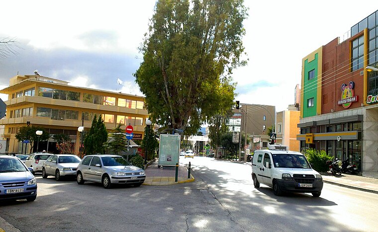
Photo: Dimorsitanos, CC BY-SA 3.0.
Ilion is a town and a suburb in the western part of the Athens agglomeration, Greece.
Petroupoli
Suburb

Photo: Dimorsitanos, CC BY-SA 3.0.
Petroupoli is a semi-mountainous town in Attica, in the west suburbs of Athens. Petroupoli was part of the community of Nea Liosia until 1946, when it became a separate community. It was elevated to municipality status in 1972.
ΠΑΡΑΜΥΘΙΑΣ
- Type: Bus stop
- Category: transportation
- Location: Agioi Anargyroi-Kamatero, Athens Prefecture, Attica, Greece, Balkans, Europe
- View on OpenStreetMap
Latitude
38.05021° or 38° 3′ 1″ northLongitude
23.7071° or 23° 42′ 26″ eastOperator
ΟΑΣΑNetwork
Transport for AthensOpen location code
8GC53P24+3ROpenStreetMap ID
node 2786688123OpenStreetMap feature
highway=bus_stopOpenStreetMap feature
public_transport=platform
This page is based on OpenStreetMap, Wikidata, and Wikimedia Commons.
We’d love your help improving our open data sources. Thank you for contributing.
Satellite Map
Discover ΠΑΡΑΜΥΘΙΑΣ from above in high-definition satellite imagery.
Places with the Same Name
Discover other places named “ΠΑΡΑΜΥΘΙΑΣ”.
Notable Places Nearby
Highlights include Ιερός Ναός Αγίου Τρύφωνος and Πάρκο Ειρήνης.
Nearby Places
Explore places such as ΠΑΡΑΜΥΘΙΑΣ and ΑΝΑΤΟΛΗΣ.
Greece: Must-Visit Destinations
Delve into Athens, Thessaloniki, Lesvos, and Arcadia.
Curious Bus Stops to Discover
Uncover intriguing bus stops from every corner of the globe.
About Mapcarta. Data © OpenStreetMap contributors and available under the Open Database License". Text is available under the CC BY-SA 4.0 license, except for photos, directions, and the map. Photo: Ggia, CC BY-SA 3.0.