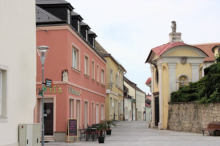
Gasthof Zeche
Gasthof Zeche is a restaurant in Großhöflein, Eisenstadt-Umgebung District, Burgenland. Gasthof Zeche is situated nearby to the wayside shrine Gnadenstuhl, as well as near the house Pleiningerhaus, Großhöflein.| Tap on a place to explore it |
Places of Interest Nearby
Highlights include Florianikapelle and Saint John the Baptist Church.
Florianikapelle
Church

Photo: Bwag, CC BY-SA 3.0.
Florianikapelle is a church, which is situated 140 metres northeast of Gasthof Zeche.
Saint John the Baptist Church
Church

Photo: Bwag, CC BY-SA 3.0.
Saint John the Baptist Church is situated 230 metres south of Gasthof Zeche.

Places in the Area
Nearby places include Kleinhöflein im Burgenland and Oberberg-Eisenstadt.
Kleinhöflein im Burgenland
Village
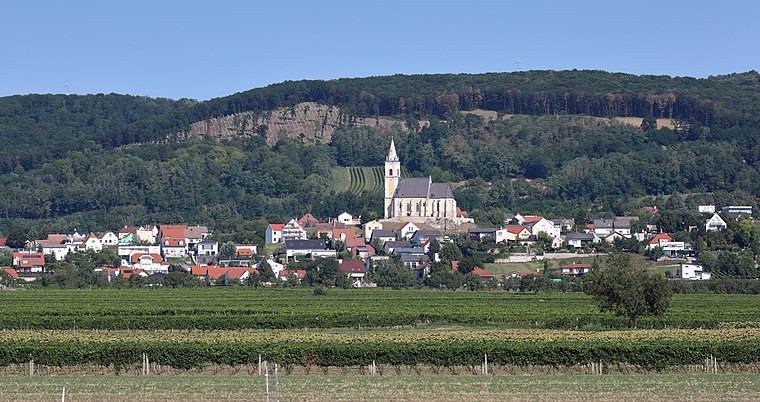
Photo: Bwag, CC BY-SA 4.0.
Kleinhöflein im Burgenland is a village.
Oberberg-Eisenstadt
Neighborhood
 Oberberg-Eisenstadt is a neighborhood, which is situated 2½ km northeast of Gasthof Zeche.
Unterberg-Eisenstadt
Neighborhood

Photo: Wikimedia, CC BY-SA 4.0.
Unterberg-Eisenstadt is a neighborhood, which is situated 2½ km northeast of Gasthof Zeche.
Gasthof Zeche
- Type: Restaurant
- Wheelchair access: no
- Category: food
- Location: Großhöflein, Eisenstadt-Umgebung District, Burgenland, Austria, Central Europe, Europe
- View on OpenStreetMap
Latitude
47.83624° or 47° 50′ 11″ northLongitude
16.48054° or 16° 28′ 50″ eastOpen location code
8FVRRFPJ+F6OpenStreetMap ID
node 2835998510OpenStreetMap feature
amenity=restaurantOpenStreetMap attribute
wheelchair=no
This page is based on OpenStreetMap, Wikidata, and Wikimedia Commons.
We’d love your help improving our open data sources. Thank you for contributing.
Satellite Map
Discover Gasthof Zeche from above in high-definition satellite imagery.
Notable Places Nearby
Highlights include Pleiningerhaus, Großhöflein and Radegundiskapelle.
Nearby Places
Explore places such as Großhöflein Wiener Straße and Großhöflein Wiener Straße.
Burgenland: Must-Visit Destinations
Delve into Eisenstadt, Neusiedl am See, Rust, and Güssing.
Curious Restaurants to Discover
Uncover intriguing restaurants from every corner of the globe.
About Mapcarta. Data © OpenStreetMap contributors and available under the Open Database License". Text is available under the CC BY-SA 4.0 license, except for photos, directions, and the map. Photo: Wikimedia, CC BY-SA 4.0.