Restaurant Altersheim
Restaurant Altersheim is a fast food restaurant in Lohn-Ammannsegg, Wasseramt District, Canton of Solothurn. Restaurant Altersheim is situated nearby to the church Guthirt, as well as near Lukaskirche.| Tap on a place to explore it |
Places of Interest Nearby
Highlights include Guthirt and Lukaskirche.

Lukaskirche
Church
 Lukaskirche is a church, which is situated 480 metres southwest of Restaurant Altersheim.
Lohn-Lüterkofen railway station
Railway station

Photo: Roland Zumbuehl, CC BY-SA 4.0.
Lohn-Lüterkofen railway station is a railway station in the municipality of Lohn-Ammannsegg, in the Swiss canton of Solothurn. It is an intermediate stop on the 1,000 mm gauge Solothurn–Worblaufen line of Regionalverkehr Bern-Solothurn. Lohn-Lüterkofen railway station is situated 1½ km south of Restaurant Altersheim.
Places in the Area
Nearby places include Lohn-Ammannsegg and Lüterkofen.
Lohn-Ammannsegg
Village

Photo: DidiWeidmann, CC BY-SA 3.0.
Lohn-Ammannsegg is a municipality in the district of Wasseramt in the canton of Solothurn in Switzerland. The municipality was formed in 1993 when Lohn and Ammannsegg united.

Biberist
Village
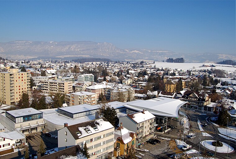
Photo: Ch-info.ch, CC BY-SA 3.0.
Biberist is a municipality in the district of Wasseramt in the canton of Solothurn in Switzerland.
Restaurant Altersheim
- Opening hours: 9:00 AM—6:30 PM
- Type: Fast food restaurant
- Categories: food and restaurant
- Location: Lohn-Ammannsegg, Wasseramt District, Canton of Solothurn, Switzerland, Central Europe, Europe
- View on OpenStreetMap
Latitude
47.17547° or 47° 10′ 32″ northLongitude
7.53171° or 7° 31′ 54″ eastOpen location code
8FV95GGJ+5MOpenStreetMap ID
node 2837361635OpenStreetMap feature
amenity=fast_food
This page is based on OpenStreetMap, Wikidata, and Wikimedia Commons.
We’d love your help improving our open data sources. Thank you for contributing.
Satellite Map
Discover Restaurant Altersheim from above in high-definition satellite imagery.
In Other Languages
“Restaurant Altersheim” goes by many names.
- German: “Restaurant Altersheim”
Notable Places Nearby
Highlights include Gemeindehaus and Die Post.
Nearby Places
Explore places such as Alters- und Pflegeheim ‘Bad-Ammannsegg’ and Hofbraui.
Switzerland: Must-Visit Destinations
Delve into Zurich, Berne, Geneva, and Basel.
Curious Fast Food Restaurants to Discover
Uncover intriguing fast food restaurants from every corner of the globe.
About Mapcarta. Data © OpenStreetMap contributors and available under the Open Database License". Text is available under the CC BY-SA 4.0 license, except for photos, directions, and the map. Photo: Simonizer, CC BY-SA 2.0 de.