Ara-barlang
Ara-barlang is a cave in Vas County, Western Transdanubia. Ara-barlang is situated nearby to the spring Szikla-forrás, as well as near the peak Tábor-hegy.| Tap on a place to explore it |
Places of Interest Nearby
Highlights include Ciklámen-forrás and Hét-forrás.
Ciklámen-forrás
Spring

Photo: Heyjoe.hu, CC BY-SA 4.0.
Ciklámen-forrás is a spring, which is situated 1¼ km south of Ara-barlang.


Places in the Area
Nearby places include Steier Houses and Liebing.

Liebing
Village
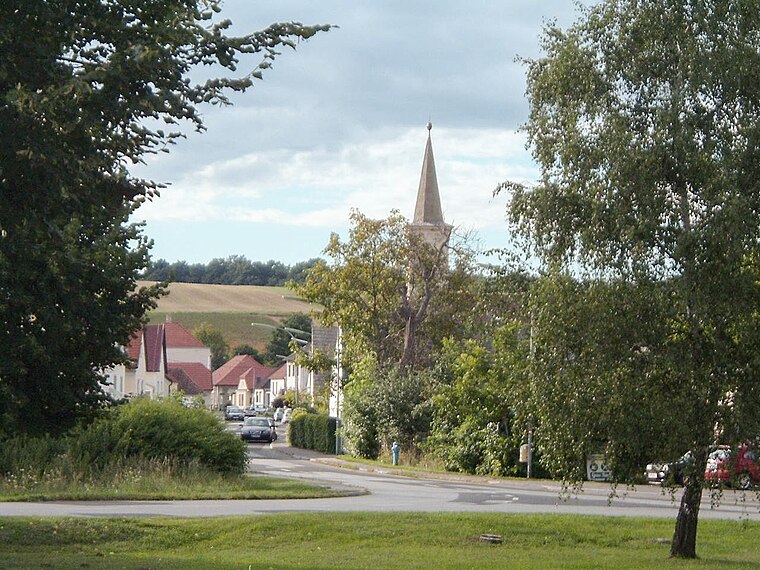
Photo: Wikimedia, Public domain.
Liebing is a village in the district of Oberpullendorf in Burgenland in Austria. It is part of the municipality of Mannersdorf an der Rabnitz. Liebing is situated 4 km northeast of Ara-barlang.
Hammerteich
Village
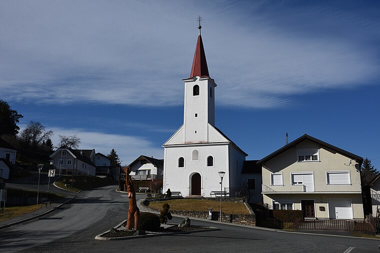
Photo: Iswoar, CC BY-SA 4.0.
Hammerteich is a village, which is situated 4 km northwest of Ara-barlang.
Ara-barlang
- Type: Cave
- Category: landform
- Location: Vas County, Western Transdanubia, Hungary, Central Europe, Europe
- View on OpenStreetMap
Latitude
47.38245° or 47° 22′ 57″ northLongitude
16.47099° or 16° 28′ 16″ eastHeight
3.5 metres (11 feet)Open location code
8FVR9FJC+X9OpenStreetMap ID
node 2868197143OpenStreetMap feature
natural=cave_entrance
This page is based on OpenStreetMap, Wikidata, and Wikimedia Commons.
We’d love your help improving our open data sources. Thank you for contributing.
Satellite Map
Discover Ara-barlang from above in high-definition satellite imagery.
Notable Places Nearby
Highlights include Szikla-forrás and Tábor-hegy.
Nearby Places
Explore places such as Erdészkunyhó and Kőszegi-hegység nagyvadjai.
Vas County: Must-Visit Destinations
Delve into Kőszeg, Szombathely, Körmend, and Szentgotthárd.
Curious Caves to Discover
Uncover intriguing caves from every corner of the globe.
About Mapcarta. Data © OpenStreetMap contributors and available under the Open Database License". Text is available under the CC BY-SA 4.0 license, except for photos, directions, and the map. Photo: Wikimedia, CC0.