James Liquor
James Liquor is a liquor store in Queens, New York which is located on Merrick Boulevard. James Liquor is situated nearby to the health club Blink Fitness, as well as near Springfield Gardens United Methodist Church.| Tap on a place to explore it |
Places of Interest Nearby
Highlights include Locust Manor station and St. Albans station.
Locust Manor station
Railway station

Photo: Wikimedia, CC BY-SA 2.0.
Locust Manor is a station on the Long Island Rail Road's Atlantic Branch in the Locust Manor neighborhood of Queens, New York City. The station is located at Farmers Boulevard and Bedell Street and is 14.0 miles from Penn Station in Midtown Manhattan. Locust Manor station is situated 1,900 feet southwest of James Liquor.
St. Albans station
Railway station

Photo: Pacific Coast Highway, Public domain.
St. Albans is a station on the Long Island Rail Road's Montauk Branch in St. Albans, Queens, New York on the southwest corner of Linden Boulevard and Montauk Place, although the segment of Montauk Place that once intersected with Linden Boulevard has been abandoned and fenced off. St. Albans station is situated 1 mile north of James Liquor.
Laurelton station
Railway station

Photo: DanTD, CC BY-SA 3.0.
Laurelton is a station on the Long Island Rail Road's Atlantic Branch, located at the intersection of 225th Street and 141st Road in the Laurelton neighborhood of Queens, New York City. It is 14.9 miles from Penn Station in Midtown Manhattan. Laurelton station is situated 1 mile southeast of James Liquor.
Places in the Area
Nearby places include Springfield Gardens and Laurelton.
Springfield Gardens
Neighborhood

Photo: Jim.henderson, Public domain.
Springfield Gardens is a neighborhood in the southeastern area of the New York City borough of Queens, bounded to the north by St. Albans, to the east by Laurelton and Rosedale, to the south by John F. Kennedy International Airport, and to the west by Farmers Boulevard.
Laurelton
Neighborhood
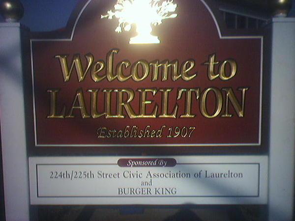
Photo: Fiditg, Public domain.
Laurelton is a largely middle-class neighborhood in the New York City borough of Queens and part of the former town of Jamaica. Merrick Boulevard, which bisects the community in a generally east–west direction, forms its commercial spine.
Locust Manor
Neighborhood
Photo: Wikimedia, CC BY-SA 2.0.
Locust Manor is a neighborhood in the New York City borough of Queens. It is bordered on the north by Baisley Boulevard to Irwin Place to Roe Road to 120th Avenue, on the east by the tracks of the Long Island Rail Road to 121st Avenue to Farmers Boulevard, on the south by North Conduit Boulevard, and on the west by Guy R.
James Liquor
- Type: Liquor store
- Address: 131-14 Merrick Boulevard, 11434
- Category: shop
- Location: Queens, New York, Mid-Atlantic, United States, North America
- View on OpenStreetMap
Latitude
40.67924° or 40° 40′ 45″ northLongitude
-73.76104° or 73° 45′ 40″ westOpen location code
87G8M6HQ+MHOpenStreetMap ID
node 2869522963OpenStreetMap feature
shop=alcohol
This page is based on OpenStreetMap, Wikidata, and Wikimedia Commons.
We’d love your help improving our open data sources. Thank you for contributing.
Satellite Map
Discover James Liquor from above in high-definition satellite imagery.
Places with the Same Name
Discover other places named “James Liquor”.
Notable Places Nearby
Highlights include Blink Fitness and Springfield Gardens United Methodist Church.
Nearby Places
Explore places such as Farmers Insurance and Carvel.
Queens: Must-Visit Destinations
Delve into John F. Kennedy International Airport, LaGuardia Airport, Flushing-Northeast, and Long Island City and Astoria.
Curious Liquor Stores to Discover
Uncover intriguing liquor stores from every corner of the globe.
About Mapcarta. Data © OpenStreetMap contributors and available under the Open Database License". Text is available under the CC BY-SA 4.0 license, except for photos, directions, and the map. Photo: Wikimedia, CC BY-SA 3.0.