Sklavenitis
Sklavenitis is a supermarket in Petroupoli, Athens Prefecture, Attica which is located on 25ης Μαρτίου. Sklavenitis is situated nearby to the suburb Petroupoli, as well as near the government office Embassy of Jamaica.| Tap on a place to explore it |
- Opening hours:
Monday—Friday: 8:00 AM—9:00 PM
Saturday: 8:00 AM—8:00 PM
Sunday: closed - Type: Supermarket
- Address: 25ης Μαρτίου 79, Πετρούπολη, 13231
Places of Interest Nearby
Highlights include National Rehabilitation Center and Anthoupoli.
National Rehabilitation Center
Hospital

Photo: MARIOS KALYVIOTIS, CC BY-SA 4.0.
National Rehabilitation Center is a hospital, which is situated 3 km east of Sklavenitis.
Anthoupoli
Metro station

Photo: Wikimedia, CC BY-SA 3.0.
Anthoupoli is the northern terminal station of Athens Metro Line 2 since the Peristeri extension in April 2013. During planning in the late-1990s, the station was known as "Thivon", after a nearby major north-south road between Ilion and Piraeus. Anthoupoli is situated 3 km south of Sklavenitis.
Pyrgos Vasilissis railway station
Railway station
Pyrgos Vasilissis railway station is a station on the Piraeus–Platy railway line in Agioi Anargyroi, a suburb in municipality of Agioi Anargyroi-Kamatero, in the regional unit of West Athens, Attica, Greece. Pyrgos Vasilissis railway station is situated 4 km east of Sklavenitis.
Places in the Area
Nearby places include Petroupoli and Anthoupoli.
Petroupoli
Suburb

Photo: Dimorsitanos, CC BY-SA 3.0.
Petroupoli is a semi-mountainous town in Attica, in the west suburbs of Athens. Petroupoli was part of the community of Nea Liosia until 1946, when it became a separate community. It was elevated to municipality status in 1972.

Nea Liosia
Suburb
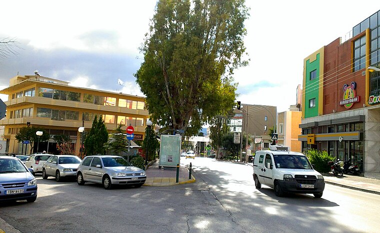
Photo: Dimorsitanos, CC BY-SA 3.0.
Ilion is a town and a suburb in the western part of the Athens agglomeration, Greece.
Sklavenitis
- Categories: shop and food
- Location: Petroupoli, Athens Prefecture, Attica, Greece, Balkans, Europe
- View on OpenStreetMap
Latitude
38.04234° or 38° 2′ 32″ northLongitude
23.68435° or 23° 41′ 4″ eastBrand
SklavenitisOpen location code
8GC52MRM+WPOpenStreetMap ID
node 2877948960OpenStreetMap feature
shop=supermarket
This page is based on OpenStreetMap, Wikidata, and Wikimedia Commons.
We’d love your help improving our open data sources. Thank you for contributing.
Satellite Map
Discover Sklavenitis from above in high-definition satellite imagery.
In Other Languages
“Sklavenitis” goes by many names.
- Greek: “Σκλαβενίτης”
Places with the Same Name
Discover other places named “Sklavenitis”.
Notable Places Nearby
Highlights include Embassy of Jamaica and Πλατεία Αγίου Δημητρίου.
Nearby Places
Explore places such as Isabelle and Κονδύλης.
Greece: Must-Visit Destinations
Delve into Athens, Thessaloniki, Lesvos, and Arcadia.
Curious Supermarkets to Discover
Uncover intriguing supermarkets from every corner of the globe.
About Mapcarta. Data © OpenStreetMap contributors and available under the Open Database License". Text is available under the CC BY-SA 4.0 license, except for photos, directions, and the map. Photo: Ggia, CC BY-SA 3.0.