Calycotome épineux
Calycotome épineux is in Le Cannet, Arrondissement of Grasse, Provence-Alpes-Côte d’Azur. Calycotome épineux is situated nearby to the scenic viewpoint Belvédère du Maquis, as well as near Belvédère de Roquebillère.| Tap on a place to explore it |
Places of Interest Nearby
Highlights include La Frayère station and Croix des gardes.
La Frayère station
Railway station

Photo: Wikimedia, CC BY-SA 3.0.
La Frayère station is a French railway station in a suburb of Cannes, southern France. The station opened in 1978. The line saw a steady decline in passengers and the station was closed in 1995. La Frayère station is situated 1 km southwest of Calycotome épineux.
Croix des gardes
Protected area

Photo: Wikimedia, CC BY-SA 3.0.
Croix des gardes is a protected area, which is situated 660 metres southeast of Calycotome épineux.
Le Bosquet station
Railway station

Photo: Captain Scarlet, CC BY 2.5.
Le Bosquet is a station in the city of Cannes, southern France. The station opened on 10 April 1870 when the line from Grasse to Cannes opened to passengers. Le Bosquet station is situated 1¼ km south of Calycotome épineux.
Places in the Area
Nearby places include Cannes and La Roquette-sur-Siagne.
Cannes

Photo: Afernand74, CC BY 2.5.
Once a small fishing village on the French Riviera, Cannes is now a glamorous and expensive seaside town of 73,000 people considered to be one of the social hubs of Europe.
La Roquette-sur-Siagne
Village

Photo: Jpchevreau, CC BY-SA 3.0.
La Roquette-sur-Siagne is a commune in the Alpes-Maritimes department in southeastern France. La Roquette-sur-Siagne is situated 3 km northwest of Calycotome épineux.
Le Cannet
Town
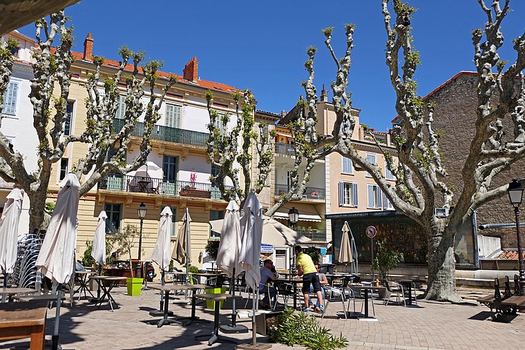
Photo: Jpchevreau, CC BY-SA 3.0.
Le Cannet is a commune of the Alpes-Maritimes department in southeastern France. Le Cannet is situated 3½ km northeast of Calycotome épineux.
Calycotome épineux
- Type: Sign
- Categories: information and tourism
- Location: Le Cannet, Arrondissement of Grasse, Alpes-Maritimes, Provence-Alpes-Côte d’Azur, France, Europe
- View on OpenStreetMap
Latitude
43.5628° or 43° 33′ 46″ northLongitude
6.98136° or 6° 58′ 53″ eastOpen location code
8FM8HX7J+4GOpenStreetMap ID
node 2893556102OpenStreetMap feature
tourism=information
This page is based on OpenStreetMap, Wikidata, and Wikimedia Commons.
We’d love your help improving our open data sources. Thank you for contributing.
Satellite Map
Discover Calycotome épineux from above in high-definition satellite imagery.
Notable Places Nearby
Highlights include Belvédère du Maquis and Belvédère de Roquebillère.
Nearby Places
Explore places such as Pic-vert ou Pivert and Bruyère à balais.
Alpes-Maritimes: Must-Visit Destinations
Delve into Nice, Cannes, Antibes, and Menton.
Curious Places to Discover
Uncover intriguing places from every corner of the globe.
About Mapcarta. Data © OpenStreetMap contributors and available under the Open Database License". Text is available under the CC BY-SA 4.0 license, except for photos, directions, and the map. Photo: Myrabella, CC BY-SA 3.0.