Pegel Altchemnitz 2
Pegel Altchemnitz 2 is a monitoring station in Chemnitz, Saxon Ore Mountains, Saxony. Pegel Altchemnitz 2 is situated nearby to the stadium Germania, as well as near the church St. Antonius.| Tap on a place to explore it |
Places of Interest Nearby
Highlights include Chemnitz Riemenschneiderstraße railway stop and Chemnitz-Reichenhain railway stop.
Chemnitz Riemenschneiderstraße railway stop
Railway stop

Photo: Aagnverglaser, CC BY-SA 4.0.
Chemnitz Riemenschneiderstraße railway stop is situated 670 metres south of Pegel Altchemnitz 2.
Chemnitz-Reichenhain railway stop
Railway stop

Photo: Aagnverglaser, CC BY-SA 4.0.
Chemnitz-Reichenhain railway stop is situated 710 metres northeast of Pegel Altchemnitz 2.
Altchemnitz heating plant
Power station
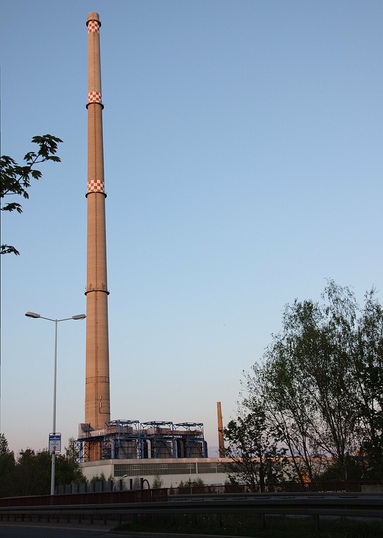
Photo: Miebner, CC BY-SA 3.0.
Altchemnitz heating plant is a power station, which is situated 1 km northwest of Pegel Altchemnitz 2.
Places in the Area
Nearby places include Klaffenbach and Einsiedel.
Klaffenbach
Suburb

Photo: SandroC, CC BY-SA 3.0.
Klaffenbach is a suburb, which is situated 3½ km southwest of Pegel Altchemnitz 2.
Einsiedel
Suburb

Photo: Hagen Graebner, CC BY-SA 3.0.
Einsiedel is a suburb, which is situated 4 km southeast of Pegel Altchemnitz 2.
Neukirchen
Village

Photo: Bluelkw, CC BY-SA 3.0.
Neukirchen is a municipality in the district Erzgebirgskreis, in Saxony, Germany. Neukirchen is situated 4½ km west of Pegel Altchemnitz 2.
Pegel Altchemnitz 2
- Type: Monitoring station
- Location: Chemnitz, Saxon Ore Mountains, Saxony, Germany, Central Europe, Europe
- View on OpenStreetMap
Latitude
50.79129° or 50° 47′ 29″ northLongitude
12.92744° or 12° 55′ 39″ eastInception
1983Operator
SaxonyOpen location code
9F2JQWRG+GXOpenStreetMap ID
node 2904501132OpenStreetMap feature
man_made=monitoring_station
This page is based on OpenStreetMap, Wikidata, and Wikimedia Commons.
We’d love your help improving our open data sources. Thank you for contributing.
Satellite Map
Discover Pegel Altchemnitz 2 from above in high-definition satellite imagery.
Notable Places Nearby
Highlights include Germania and St. Antonius.
Nearby Places
Explore places such as Naturlehrpfad and Asia-Bistro.
Saxon Ore Mountains: Must-Visit Destinations
Delve into Zwickau, Freiberg, Oberwiesenthal, and Aue.
Curious Monitoring Stations to Discover
Uncover intriguing monitoring stations from every corner of the globe.
About Mapcarta. Data © OpenStreetMap contributors and available under the Open Database License". Text is available under the CC BY-SA 4.0 license, except for photos, directions, and the map. Photo: Wikimedia, CC0.