Gostilna-Trgovina Uran
Gostilna-Trgovina Uran is a convenience store in Podvelka, Slovenia. Gostilna-Trgovina Uran is situated nearby to the village Janževski Vrh, as well as near the peak Sršenov vrh.| Tap on a place to explore it |
Places of Interest Nearby
Highlights include Podvelka railway station and Lovska koča LD Podvelka.
Podvelka railway station
Railway station

Photo: Wikimedia, CC BY-SA 3.0.
Podvelka railway station is situated 4 km north of Gostilna-Trgovina Uran.
Lovska koča LD Podvelka
Building

Photo: Foonzzi, CC BY-SA 4.0.
Lovska koča LD Podvelka is a building, which is situated 3 km northeast of Gostilna-Trgovina Uran.
Places in the Area
Nearby places include Janževski Vrh and Brezno.
Janževski Vrh
Village

Photo: Wikimedia, Public domain.
Janževski Vrh is a settlement in the hills above the right bank of the Drava River in the Municipality of Podvelka in Slovenia. It gets its name from the local church, dedicated to John the Baptist.
Brezno
Village

Photo: Inserat, Public domain.
Brezno is a settlement on the left bank of the Drava River in the Municipality of Podvelka in Slovenia. The local parish church is dedicated to the Assumption of Mary and belongs to the Roman Catholic Archdiocese of Maribor. Brezno is situated 4 km north of Gostilna-Trgovina Uran.
Ožbalt
Village
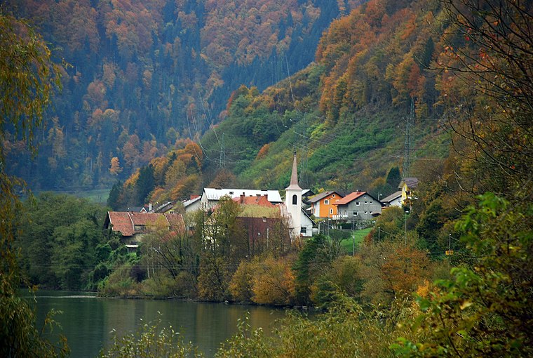
Photo: Wikimedia, CC BY-SA 3.0.
Ožbalt is a village on the left bank of the Drava River in the Municipality of Podvelka in Slovenia. Ožbalt is situated 6 km northeast of Gostilna-Trgovina Uran.
Gostilna-Trgovina Uran
- Opening hours: Monday—Friday 7:00 AM—8:00 PM
- Type: Convenience store
- Categories: restaurant, shop, and food
- Location: Podvelka, Slovenia, Central Europe, Europe
- View on OpenStreetMap
Latitude
46.55603° or 46° 33′ 22″ northLongitude
15.32368° or 15° 19′ 25″ eastOpen location code
8FRQH84F+CFOpenStreetMap ID
node 290510070OpenStreetMap feature
amenity=restaurantOpenStreetMap feature
shop=convenience
This page is based on OpenStreetMap, Wikidata, and Wikimedia Commons.
We’d love your help improving our open data sources. Thank you for contributing.
Satellite Map
Discover Gostilna-Trgovina Uran from above in high-definition satellite imagery.
Notable Places Nearby
Highlights include Sršenov vrh and Fabijanov vrh.
Nearby Places
Explore places such as Bar-Market Orozel and Lehen I.
Slovenia: Must-Visit Destinations
Delve into Ljubljana, Maribor, Koper, and Celje.
Curious Convenience Stores to Discover
Uncover intriguing convenience stores from every corner of the globe.
About Mapcarta. Data © OpenStreetMap contributors and available under the Open Database License". Text is available under the CC BY-SA 4.0 license, except for photos, directions, and the map. Photo: Jjtkk, CC BY 3.0.