Brüte
Brüte is a tram stop in Gera, Thuringia. Brüte is situated nearby to the work of art Ziege, as well as near the sports venue Turnhalle der Waldorfschule.| Tap on a place to explore it |
Places of Interest Nearby
Highlights include Hl. Maximilian Kolbe and Ziege.
Hl. Maximilian Kolbe
Church

Photo: Steffen Löwe Gera, CC BY-SA 3.0.
Hl. Maximilian Kolbe is a church, which is situated 410 metres southeast of Brüte.
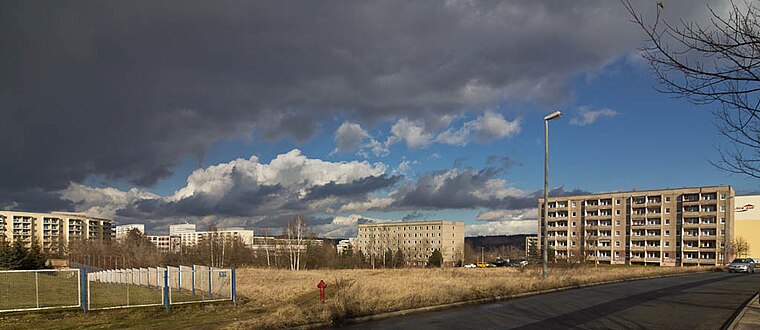
Ziege
Work of art

Photo: Steffen Löwe Gera, CC BY-SA 3.0.
Ziege is a work of art, which is situated 330 metres northeast of Brüte.
Dorfkirche Oberröppisch
Church

Photo: Christine Türpitz, CC BY 3.0.
Dorfkirche Oberröppisch is a church, which is situated 660 metres south of Brüte.
Places in the Area
Nearby places include Lusan and Oberröppisch.

Brüte
- Type: Tram stop
- Wheelchair access: yes
- Categories: railway stop, transport stop, and transportation
- Location: Gera, Thuringia, Germany, Central Europe, Europe
- View on OpenStreetMap
Latitude
50.84044° or 50° 50′ 26″ northLongitude
12.0637° or 12° 3′ 49″ eastInception
October 28th, 1979Operator
GVB Verkehrs- und Betriebsgesellschaft Gera mbhOpen location code
9F2JR3R7+5FOpenStreetMap ID
node 290609832OpenStreetMap feature
public_transport=stop_positionOpenStreetMap feature
railway=tram_stopOpenStreetMap attribute
wheelchair=yes
This page is based on OpenStreetMap, Wikidata, and Wikimedia Commons.
We’d love your help improving our open data sources. Thank you for contributing.
Satellite Map
Discover Brüte from above in high-definition satellite imagery.
Places with the Same Name
Discover other places named “Brüte”.
Notable Places Nearby
Highlights include Turnhalle der Waldorfschule and Jugendclub Bumerang.
Nearby Places
Explore places such as Brüte (SEV) and Brüte.
Thuringia: Must-Visit Destinations
Delve into Erfurt, Weimar, Jena, and Eisenach.
Curious Tram Stops to Discover
Uncover intriguing tram stops from every corner of the globe.
About Mapcarta. Data © OpenStreetMap contributors and available under the Open Database License". Text is available under the CC BY-SA 4.0 license, except for photos, directions, and the map. Photo: Taxiarchos228, FAL.