Trekroner
Trekroner is a hamlet in Gribskov Kommune, Capital Region and has about 14 residents. Trekroner is situated nearby to the hamlet Huseby, as well as near Ramløse Bakker.| Tap on a place to explore it |
Places of Interest
Highlights include Hyrdehøj and Ramløse Church.

Ramløse Windmill
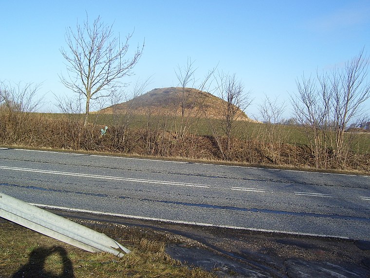
Windmill

Photo: Ramloser, CC BY-SA 3.0.
Ramløse Windmill is a smock mill located in the northeastern corner of Ramløse, Gribskov Municipality, North Zealand, some 60 kilometres north west of Copenhagen, Denmark.
Places in the Area
Nearby places include Annisse Nord and Annisse.
Annisse Nord
Village
Annisse Nord is a town in the Gribskov Municipality in North Zealand, Denmark. It is located two kilometers north of Annisse, three kilometers south of Helsinge and 15 kilometers northwest of Hillerød. Annisse Nord is situated 3 km east of Trekroner.
Annisse
Village
Annisse is a town in the Gribskov Municipality in North Zealand, Denmark. It is located five kilometers south of Helsinge and 13 kilometers northwest of Hillerød. As of 2025, it has a population of 315. The sports club Annisse IF is based in the town. Annisse is situated 3½ km southeast of Trekroner.
Helsinge
Town

Photo: Hubertus, CC BY-SA 2.5.
Helsinge is the municipal seat of Gribskov Municipality in Region Hovedstaden on Zealand in Denmark. As of 1 January 2025, it has a population of 9,719. Helsinge is situated 3½ km northeast of Trekroner.
Trekroner
- Type: Hamlet with 14 residents
- Category: locality
- Location: Gribskov Kommune, Capital Region, Denmark, Nordic countries, Europe
- View on OpenStreetMap
Latitude
56.00631° or 56° 0′ 23″ northLongitude
12.14263° or 12° 8′ 34″ eastPopulation
14Open location code
9F8J244V+G3OpenStreetMap ID
node 2923811072OpenStreetMap feature
place=hamlet
This page is based on OpenStreetMap, Wikidata, and Wikimedia Commons.
We’d love your help improving our open data sources. Thank you for contributing.
Satellite Map
Discover Trekroner from above in high-definition satellite imagery.
Places with the Same Name
Discover other places named “Trekroner”.
Localities in the Area
Explore places such as Huseby and Ramløse Bakker.
Notable Places Nearby
Highlights include Skjerød Baunebakke and Ramløse Forsamlingshus.
Denmark: Must-Visit Destinations
Delve into Copenhagen, Aarhus, Odense, and Aalborg.
Curious Hamlets to Discover
Uncover intriguing hamlets from every corner of the globe.
About Mapcarta. Data © OpenStreetMap contributors and available under the Open Database License". Text is available under the CC BY-SA 4.0 license, except for photos, directions, and the map. Photo: Wikimedia, CC BY-SA 3.0.