Gradnetzstein für N51°, E013°
Gradnetzstein für N51°, E013° is in Mittweida, Mittelsachsen, Saxony. Gradnetzstein für N51°, E013° is situated nearby to the scenic viewpoint Schmatzhöhe, as well as near Blick auf Hängebrücke.| Tap on a place to explore it |
Places of Interest Nearby
Highlights include Wasserburg Ringethal and Ringethal church.

Ringethal church
Church

Photo: Wikimedia, CC BY-SA 4.0.
Ringethal church is situated 1 km north of Gradnetzstein für N51°, E013°.
Alte Pfarrhäuser
Museum

Photo: Tilman2007, CC BY-SA 3.0.
Alte Pfarrhäuser is a museum, which is situated 1½ km southwest of Gradnetzstein für N51°, E013°.
Places in the Area
Nearby places include Erlebach and Schönborn-Dreiwerden.
Erlebach
Hamlet

Photo: Aagnverglaser, CC BY-SA 4.0.
Erlebach is a hamlet, which is situated 3½ km northeast of Gradnetzstein für N51°, E013°.
Schönborn-Dreiwerden
Village

Photo: Brück & Sohn Kunstverlag Meißen, CC0.
Schönborn-Dreiwerden is a village, which is situated 4 km south of Gradnetzstein für N51°, E013°.
Altmittweida
Village
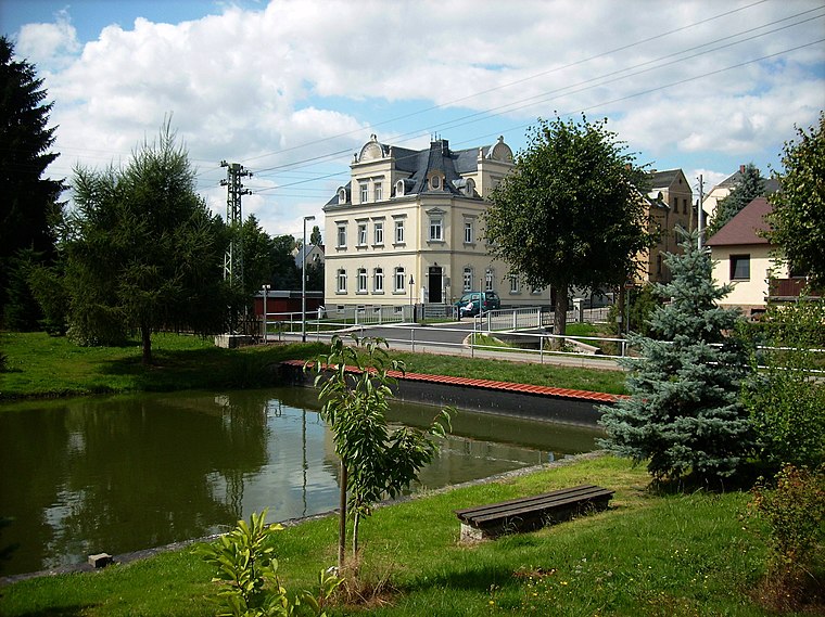
Photo: Jwaller, CC BY-SA 3.0.
Altmittweida is a municipality in the district of Mittelsachsen, in Saxony, Germany. Altmittweida is situated 4 km southwest of Gradnetzstein für N51°, E013°.
Gradnetzstein für N51°, E013°
- Type: Tourist attraction
- Category: tourism
- Location: Mittweida, Mittelsachsen, Saxony, Germany, Central Europe, Europe
- View on OpenStreetMap
Latitude
50.99629° or 50° 59′ 47″ northLongitude
12.99695° or 12° 59′ 49″ eastOpen location code
9F2JXXWW+GQOpenStreetMap ID
node 2924631796OpenStreetMap feature
tourism=attraction
This page is based on OpenStreetMap, Wikidata, and Wikimedia Commons.
We’d love your help improving our open data sources. Thank you for contributing.
Satellite Map
Discover Gradnetzstein für N51°, E013° from above in high-definition satellite imagery.
Notable Places Nearby
Highlights include Schmatzhöhe and Blick auf Hängebrücke.
Nearby Places
Explore places such as Gradnetzstein 51°N, 13°E and Lindenhöhe, Mittweida.
Saxony: Must-Visit Destinations
Delve into Dresden, Leipzig, Chemnitz, and Meißen.
Curious Places to Discover
Uncover intriguing places from every corner of the globe.
About Mapcarta. Data © OpenStreetMap contributors and available under the Open Database License". Text is available under the CC BY-SA 4.0 license, except for photos, directions, and the map. Photo: Taxiarchos228, FAL.