Fiery Gizzard Trailhead
Fiery Gizzard Trailhead is a trailhead in Grundy, Tennessee. Fiery Gizzard Trailhead is situated nearby to Small Waterfall, as well as near the waterfall Blue Hole Falls.| Tap on a place to explore it |
Places in the Area
Nearby places include Tracy City and Monteagle.
Tracy City

Photo: Skyrunner75, CC BY-SA 4.0.
Tracy City is a town of 1,400 people in Grundy County in central Tennessee. There are many hills, rock faces, and beautiful streams in the countryside surrounding Tracy City. The town is built around a few streams that flow through its limits.
Monteagle
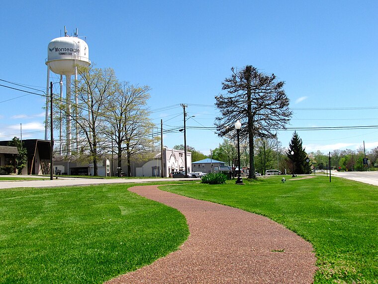
Photo: BrineStans, CC BY-SA 4.0.
Monteagle is a town in Franklin, Grundy, and Marion counties in the U.S. state of Tennessee, in the Cumberland Plateau region of the southeastern part of the state.
Fiery Gizzard Trailhead
- Type: Sign
- Categories: information, tourism, and trailhead
- Location: Grundy, Tennessee, South, United States, North America
- View on OpenStreetMap
Latitude
35.252° or 35° 15′ 7″ northLongitude
-85.74725° or 85° 44′ 50″ westOpen location code
867P7723+Q3OpenStreetMap ID
node 2926776001OpenStreetMap feature
highway=trailheadOpenStreetMap feature
tourism=information
This page is based on OpenStreetMap, Wikidata, and Wikimedia Commons.
We’d love your help improving our open data sources. Thank you for contributing.
Satellite Map
Discover Fiery Gizzard Trailhead from above in high-definition satellite imagery.
Notable Places Nearby
Highlights include Small Waterfall and Blue Hole Falls.
Nearby Places
Explore places such as Tracy Elementary School and The Farm at Fiery Gizzard.
Tennessee: Must-Visit Destinations
Delve into Nashville, Memphis, Knoxville, and Chattanooga.
Curious Places to Discover
Uncover intriguing places from every corner of the globe.
About Mapcarta. Data © OpenStreetMap contributors and available under the Open Database License". Text is available under the CC BY-SA 4.0 license, except for photos, directions, and the map. Photo: Wikimedia, CC0.