Pointes d’Ayères
Pointes d’Ayères is a climbing site in Sixt-Fer-à-Cheval, Arrondissement of Bonneville, Auvergne-Rhône-Alpes. Pointes d’Ayères is situated nearby to the peak Pointe d’Ayères Sud, as well as near Les Jumelles.| Tap on a place to explore it |
Places of Interest Nearby
Highlights include Le Marteau and Pointe d’Anterne.

Pointe d’Anterne
Peak

Photo: Pucesurvitaminee, CC BY-SA 3.0.
Pointe d'Anterne is a mountain of Haute-Savoie, France. It lies in the Chablais Alps. It has an altitude of 2,733 metres above sea level.

Places in the Area
Nearby places include Flaine and Passy.
Flaine

Photo: KlausFoehl, CC BY-SA 3.0.
Flaine is in Le Grand Massif ski area in the Haute Savoie department, in the Rhône-Alpes of Southeastern France. It was designed by Bauhaus architect Marcel Breuer in the 1960s, has one of Europe's fastest gondolas and is known for being an eco-friendly car-free ski resort.
Passy
Town
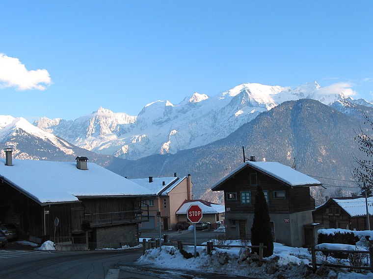
Photo: Jean-Pol GRANDMONT, CC BY 3.0.
Passy is a commune in the Haute-Savoie department in the Auvergne-Rhône-Alpes region in south-eastern France. It is part of the urban area of Sallanches. Passy is situated 9 km southwest of Pointes d’Ayères.
Chamonix
 Chamonix is a resort in the Haute-Savoie region of France, bordering Italy, at the foot of Mont Blanc. It's regarded as the birthplace of mountaineering and as one of its capitals.
Pointes d’Ayères
- Type: Climbing site
- Category: sports location
- Location: Sixt-Fer-à-Cheval, Arrondissement of Bonneville, Haute-Savoie, Auvergne-Rhône-Alpes, France, Europe
- View on OpenStreetMap
Latitude
45.97° or 45° 58′ 12″ northLongitude
6.77333° or 6° 46′ 24″ eastOpen location code
8FQ8XQ9F+X8OpenStreetMap ID
node 2940383713OpenStreetMap feature
sport=climbing
This page is based on OpenStreetMap, Wikidata, and Wikimedia Commons.
We’d love your help improving our open data sources. Thank you for contributing.
Satellite Map
Discover Pointes d’Ayères from above in high-definition satellite imagery.
Notable Places Nearby
Highlights include Pointe d’Ayères Sud and Pointes d’Ayères Nord.
Nearby Places
Explore places such as Faille des Fizz and Pierre à l’ours.
Haute-Savoie: Must-Visit Destinations
Delve into Chamonix, Annecy, Annemasse, and Evian.
Curious Climbing Sites to Discover
Uncover intriguing climbing sites from every corner of the globe.
About Mapcarta. Data © OpenStreetMap contributors and available under the Open Database License". Text is available under the CC BY-SA 4.0 license, except for photos, directions, and the map. Photo: Scailyna, CC BY-SA 4.0.