Drachenstein bei Donnern
Drachenstein bei Donnern is in Lower Saxony, Germany. Drachenstein bei Donnern is situated nearby to Bülter See, as well as near the village Heerstedt.| Tap on a place to explore it |
Places of Interest Nearby
Highlights include Bülter See and Sellstedt station.
Sellstedt station
Railway stop
Sellstedt is a railway station in northwestern Germany. It is owned and operated by EVB, with regular trains on the line between Bremerhaven and Buxtehude. Sellstedt station is situated 3½ km northwest of Drachenstein bei Donnern.
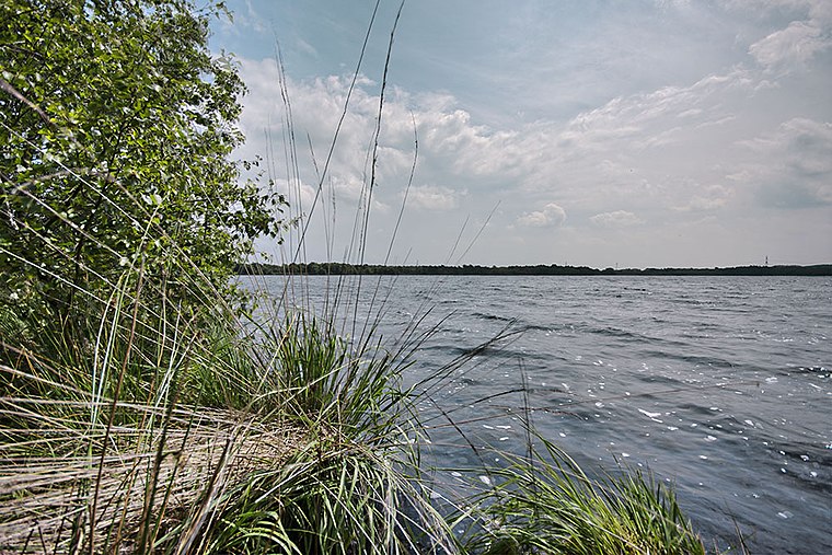
Silbersee

Photo: Kplump, CC BY-SA 3.0.
Silbersee is situated 3½ km east of Drachenstein bei Donnern.
Places in the Area
Nearby places include Donnern and Heerstedt.

Heerstedt
Village

Photo: Raboe001, CC BY-SA 3.0 de.
Heerstedt is a village and a former municipality in the district of Cuxhaven, in Lower Saxony, Germany. Since 1 November 2011, it is part of the municipality Beverstedt. Heerstedt is situated 3 km south of Drachenstein bei Donnern.
Wehdel
Village

Photo: 2eight, CC BY-SA 3.0 de.
Wehdel is a village, which is situated 4 km northeast of Drachenstein bei Donnern.
Drachenstein bei Donnern
- Type: Tourist attraction
- Category: tourism
- Location: Lower Saxony, Germany, Central Europe, Europe
- View on OpenStreetMap
Latitude
53.49161° or 53° 29′ 30″ northLongitude
8.75553° or 8° 45′ 20″ eastOpen location code
9F5CFQR4+J6OpenStreetMap ID
node 2940674006OpenStreetMap feature
tourism=attraction
This page is based on OpenStreetMap, Wikidata, and Wikimedia Commons.
We’d love your help improving our open data sources. Thank you for contributing.
Satellite Map
Discover Drachenstein bei Donnern from above in high-definition satellite imagery.
Notable Places Nearby
Highlights include Drachenstein and Bülter Moor.
Nearby Places
Explore places such as Sage: Drachenstein bei Donnern and Heidekultur.
Lower Saxony: Must-Visit Destinations
Delve into Hanover, Göttingen, Brunswick, and Wolfsburg.
Curious Places to Discover
Uncover intriguing places from every corner of the globe.
About Mapcarta. Data © OpenStreetMap contributors and available under the Open Database License". Text is available under the CC BY-SA 4.0 license, except for photos, directions, and the map. Photo: Danapit, CC BY-SA 3.0.