Trimparkstation 3
Trimparkstation 3 is in Weiden i.d.OPf., Kreisfreie Stadt Weiden in der Oberpfalz, Bavaria. Trimparkstation 3 is situated nearby to the scenic viewpoint Vierlingsturm, as well as near the peak Fischer Berg.| Tap on a place to explore it |
Places of Interest Nearby
Highlights include Dorfkapelle and Heilige Staude.
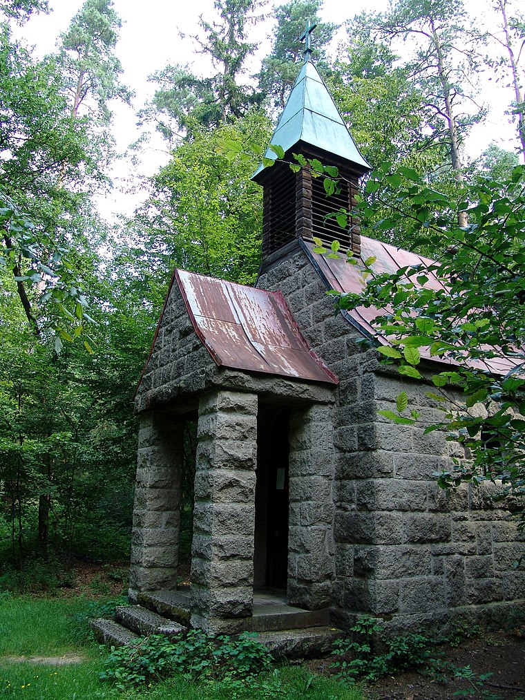
Dorfkapelle
Church

Photo: Allexkoch, CC BY-SA 4.0.
Dorfkapelle is a church, which is situated 1½ km west of Trimparkstation 3.
Places in the Area
Nearby places include Mitterhöll and Letzau.


Trimparkstation 3
- Type: Sign
- Categories: information and tourism
- Location: Weiden i.d.OPf., Kreisfreie Stadt Weiden in der Oberpfalz, Upper Palatinate, Bavaria, Germany, Central Europe, Europe
- View on OpenStreetMap
Latitude
49.66902° or 49° 40′ 9″ northLongitude
12.2291° or 12° 13′ 45″ eastOpen location code
8FXJM69H+JJOpenStreetMap ID
node 2953500633OpenStreetMap feature
tourism=information
This page is based on OpenStreetMap, Wikidata, and Wikimedia Commons.
We’d love your help improving our open data sources. Thank you for contributing.
Satellite Map
Discover Trimparkstation 3 from above in high-definition satellite imagery.
Notable Places Nearby
Highlights include Fischer Berg and Vierlingsturm.
Nearby Places
Explore places such as Trimparkstation 18 and Hölltaler Hof.
Upper Palatinate: Must-Visit Destinations
Delve into Regensburg, Amberg, Cham, and Schwandorf.
Curious Places to Discover
Uncover intriguing places from every corner of the globe.
About Mapcarta. Data © OpenStreetMap contributors and available under the Open Database License". Text is available under the CC BY-SA 4.0 license, except for photos, directions, and the map. Photo: Wikimedia, CC0.