FF St. Andrä
FF St. Andrä is a fire station in Sankt Andrä am Zicksee, Neusiedl am See District, Burgenland. FF St. Andrä is situated nearby to the playground Kinderspielplatz Lackengasse, as well as near the church Pfarrkirche hl. Andreas, Sankt Andrä am Zicksee.| Tap on a place to explore it |
Places of Interest Nearby
Highlights include Pfarrkirche hl. Andreas, Sankt Andrä am Zicksee and Figurenbildstock Guter Hirte.
Pfarrkirche hl. Andreas, Sankt Andrä am Zicksee
Church

Photo: Bwag, CC BY-SA 3.0.
Pfarrkirche hl. Andreas, Sankt Andrä am Zicksee is a church, which is situated 180 metres south of FF St. Andrä.
Figurenbildstock Guter Hirte
Building

Photo: Bwag, CC BY-SA 3.0 at.
Figurenbildstock Guter Hirte is a building, which is situated 530 metres east of FF St. Andrä.
Lidy-Kapelle
Church

Photo: Kiwi05, CC BY-SA 4.0.
Lidy-Kapelle is a church, which is situated 2½ km north of FF St. Andrä.
Places in the Area
Nearby places include Wallern im Burgenland and Halbturn.
Wallern im Burgenland
Village
 Wallern im Burgenland is a town in the northeastern part of Burgenland in Austria. It is located in the southern part of the Neusiedl am See district east of the Neusiedlersee, on Route 52 about 5 km north of the border at the artificial channel Einserkanal with Hungary. Wallern im Burgenland is situated 7 km south of FF St. Andrä.
Halbturn
Village
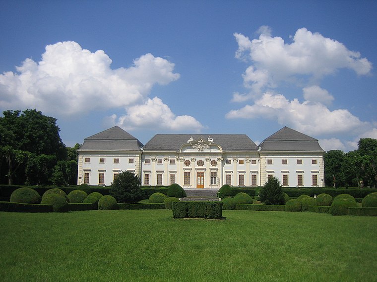
Photo: BambooBeast, Public domain.
Halbturn is a town in the district of Neusiedl am See in the Austrian state of Burgenland. It borders Hungary to the east and is near Andau, Gols, and Mönchof. Halbturn is situated 10 km north of FF St. Andrä.
FF St. Andrä
Latitude
47.78491° or 47° 47′ 6″ northLongitude
16.93758° or 16° 56′ 15″ eastOpen location code
8FVRQWMQ+X2OpenStreetMap ID
node 295903105OpenStreetMap feature
amenity=fire_station
This page is based on OpenStreetMap, Wikidata, and Wikimedia Commons.
We’d love your help improving our open data sources. Thank you for contributing.
Satellite Map
Discover FF St. Andrä from above in high-definition satellite imagery.
Notable Places Nearby
Highlights include Kinderspielplatz Lackengasse and Gemeindeamt St.Andrä am Zicksee.
Nearby Places
Explore places such as Pfarrhaus and Kindergarten St.Andrä am Zicksee.
Burgenland: Must-Visit Destinations
Delve into Eisenstadt, Neusiedl am See, Rust, and Güssing.
Curious Fire Stations to Discover
Uncover intriguing fire stations from every corner of the globe.
About Mapcarta. Data © OpenStreetMap contributors and available under the Open Database License". Text is available under the CC BY-SA 4.0 license, except for photos, directions, and the map. Photo: Wikimedia, CC BY-SA 4.0.