Le Petit Rorthais
Le Petit Rorthais is a hamlet in Montaigu, Arrondissement of La Roche-sur-Yon, Pays de la Loire. Le Petit Rorthais is situated nearby to the hamlet Le Grand Rorthais, as well as near Les Grandes Brosses.| Tap on a place to explore it |
Places of Interest
Highlights include Montaigu and Église Saint-Hilaire de Saint-Hilaire-de-Loulay.

Église Saint-Hilaire de Saint-Hilaire-de-Loulay
Church

Photo: Éduarel, CC BY-SA 3.0.
Église Saint-Hilaire de Saint-Hilaire-de-Loulay is a church.
Église Saint-Jean-Baptiste de Montaigu
Church

Photo: Éduarel, CC BY-SA 3.0.
Église Saint-Jean-Baptiste de Montaigu is a church, which is situated 3 km south of Le Petit Rorthais.
Places in the Area
Nearby places include Saint-Hilaire-de-Loulay and Boufféré.
Saint-Hilaire-de-Loulay
Village

Photo: Wikimedia, Public domain.
Saint-Hilaire-de-Loulay is a former commune in the Vendée department in the Pays de la Loire region in western France. On 1 January 2019, it was merged into the new commune Montaigu-Vendée.
Boufféré
Village
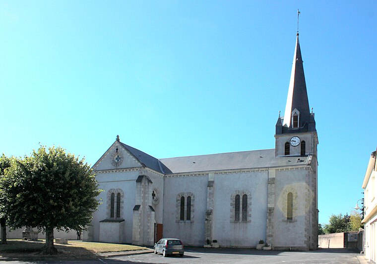
Photo: Llann Wé², CC BY-SA 3.0.
Boufféré is a former commune in the Vendée department in the Pays de la Loire region in western France. On 1 January 2019, it was merged into the new commune Montaigu-Vendée. Boufféré is situated 5 km southwest of Le Petit Rorthais.
La Guyonnière
Village

Photo: Llann Wé², CC BY-SA 3.0.
La Guyonnière is a former commune in the Vendée department in the Pays de la Loire region in western France. On 1 January 2019, it was merged into the new commune Montaigu-Vendée. La Guyonnière is situated 6 km southeast of Le Petit Rorthais.
Le Petit Rorthais
- Type: Hamlet
- Category: locality
- Location: Montaigu, Arrondissement of La Roche-sur-Yon, Vendée, Pays de la Loire, France, Europe
- View on OpenStreetMap
Latitude
47.00408° or 47° 0′ 15″ northLongitude
-1.30436° or 1° 18′ 16″ westOpen location code
8CVW2M3W+J7OpenStreetMap ID
node 2988334824OpenStreetMap feature
place=hamlet
This page is based on OpenStreetMap, Wikidata, and Wikimedia Commons.
We’d love your help improving our open data sources. Thank you for contributing.
Satellite Map
Discover Le Petit Rorthais from above in high-definition satellite imagery.
Localities in the Area
Explore places such as Le Grand Rorthais and Les Grandes Brosses.
Notable Places Nearby
Highlights include Menhir dit la Pierre qui Vire and Le bois-Corbeau.
Pays de la Loire: Must-Visit Destinations
Delve into Montsoreau, Nantes, Angers, and Le Mans.
Curious Hamlets to Discover
Uncover intriguing hamlets from every corner of the globe.
About Mapcarta. Data © OpenStreetMap contributors and available under the Open Database License". Text is available under the CC BY-SA 4.0 license, except for photos, directions, and the map. Photo: Trxxrt, FAL.