Plenowo
Plenowo is a village in the administrative district of Gmina Reszel, within Kętrzyn County, Warmian-Masurian Voivodeship, in northern Poland. It lies approximately 9 km south of Reszel, 19 km south-west of Kętrzyn, and 49 km north-east of the regional capital Olsztyn.| Tap on a place to explore it |
- Type: Village
- Description: village in Warmian-Masurian, Poland
- Also known as: “Łężany-Cegielnia”
Places in the Area
Nearby places include Widryny and Łężany.
Widryny
Village
Widryny is a village in the administrative district of Gmina Reszel, within Kętrzyn County, Warmian-Masurian Voivodeship, in northern Poland. It lies approximately 10 km south of Reszel, 19 km south-west of Kętrzyn, and 50 km north-east of the regional capital Olsztyn.
Łężany
Village
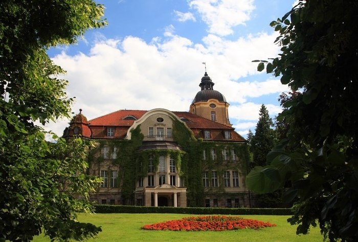
Photo: Wikimedia, CC BY-SA 3.0.
Łężany is a village in the administrative district of Gmina Reszel, within Kętrzyn County, Warmian-Masurian Voivodeship, in northern Poland. It lies approximately 10 km south of Reszel, 21 km south-west of Kętrzyn, and 47 km north-east of the regional capital Olsztyn.
Leginy
Village

Photo: S.Czachorowski, CC BY-SA 3.0.
Leginy is a village in the administrative district of Gmina Reszel, within Kętrzyn County, Warmian-Masurian Voivodeship, in northern Poland. It lies approximately 6 km south of Reszel, 18 km south-west of Kętrzyn, and 49 km north-east of the regional capital Olsztyn. Leginy is situated 2½ km northwest of Plenowo.
Plenowo
- Categories: village of Poland and locality
- Location: Warmia-Masuria, Poland, Central Europe, Europe
- View on OpenStreetMap
Latitude
53.97667° or 53° 58′ 36″ northLongitude
21.15444° or 21° 9′ 16″ eastOpen location code
9G53X5G3+MQOpenStreetMap ID
node 3009666531OpenStreetMap feature
place=villageWikidata ID
Q7204552
This page is based on OpenStreetMap, Wikidata, Wikimedia Commons, and Wikipedia.
We’d love your help improving our open data sources. Thank you for contributing.
Satellite Map
Discover Plenowo from above in high-definition satellite imagery.
In Other Languages
From Asturian to Turkish—“Plenowo” goes by many names.
- Asturian: “Plenowo”
- Chinese: “Plenowo”
- Czech: “Plenowo”
- French: “Plenowo”
- German: “Plenowo”
- German: “Plönhöfen”
- Min Nan Chinese: “Plenowo”
- Polish: “Plenowo”
- Spanish: “Plenowo (Varmia y Masuria)”
- Spanish: “Plenowo”
- Turkish: “Plenowo”
Localities in the Area
Explore places such as Łabędziewo and Pasterzewo.
Notable Places Nearby
Highlights include Kaplica pw. Świętego Jana Chrzciciela and Jezioro Widrynskie.
Warmia-Masuria: Must-Visit Destinations
Delve into Olsztyn, Elbląg, Ełk, and Kętrzyn.
Curious Villages to Discover
Uncover intriguing villages from every corner of the globe.
About Mapcarta. Data © OpenStreetMap contributors and available under the Open Database License". Text is available under the CC BY-SA 4.0 license, except for photos, directions, and the map. Description text is based on the Wikipedia page “Plenowo”. Photo: Sicherlich, CC BY 3.0.