Wzgórze Wawel
Wzgórze Wawel is a hamlet in Gmina Walim, Wałbrzych County, Lower Silesian Voivodeship. Wzgórze Wawel is situated nearby to the village Walim, as well as near the hamlet Kolonia Królowej Jadwigi.| Tap on a place to explore it |
Places of Interest
Highlights include Saint Barbara church in Walim and Włodarz.


Wielka Sowa
Peak

Photo: Jacek Halicki, CC BY-SA 4.0.
Wielka Sowa with a height of 1,014.8 metres is the highest peak of the Owl Mountains, a range of the Central Sudetes. The mountain is located in Dzierżoniów County, Lower Silesian Voivodeship, in south-western Poland. Wielka Sowa is situated 3½ km southeast of Wzgórze Wawel.
Places in the Area
Nearby places include Walim and Rzeczka.
Walim
Village
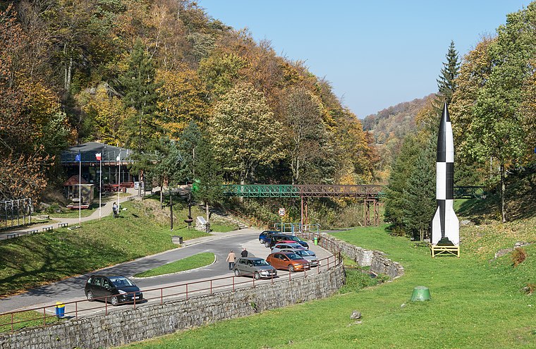
Photo: Jacek Halicki, CC BY-SA 4.0.
Walim is a village in Wałbrzych County, Lower Silesian Voivodeship, in south-western Poland. It is the seat of the administrative district called Gmina Walim. The town is notable for 300-year-old timber framed houses.
Rzeczka
Village

Photo: Jacek Halicki, CC BY 3.0.
Rzeczka is a village in the administrative district of Gmina Walim, within Wałbrzych County, Lower Silesian Voivodeship, in south-western Poland. Rzeczka is situated 2½ km south of Wzgórze Wawel.
Glinno
Village
 Glinno is a village in the administrative district of Gmina Walim, within Wałbrzych County, Lower Silesian Voivodeship, in south-western Poland. The village has an approximate population of 150. Glinno is situated 3½ km northeast of Wzgórze Wawel.
Wzgórze Wawel
- Type: Hamlet
- Category: locality
- Location: Gmina Walim, Wałbrzych County, Lower Silesian Voivodeship, Poland, Central Europe, Europe
- View on OpenStreetMap
Latitude
50.69667° or 50° 41′ 48″ northLongitude
16.43944° or 16° 26′ 22″ eastOpen location code
9F2RMCWQ+MQOpenStreetMap ID
node 3009765295OpenStreetMap feature
place=hamlet
This page is based on OpenStreetMap, Wikidata, and Wikimedia Commons.
We’d love your help improving our open data sources. Thank you for contributing.
Satellite Map
Discover Wzgórze Wawel from above in high-definition satellite imagery.
Localities in the Area
Explore places such as Kolonia Królowej Jadwigi and Siedlików.
Notable Places Nearby
Highlights include Poczta and Kościół pw. św. Jadwigi.
Lower Silesian Voivodeship: Must-Visit Destinations
Delve into Wrocław, Legnica, Wałbrzych, and Głogów.
Curious Hamlets to Discover
Uncover intriguing hamlets from every corner of the globe.
About Mapcarta. Data © OpenStreetMap contributors and available under the Open Database License". Text is available under the CC BY-SA 4.0 license, except for photos, directions, and the map. Photo: Sicherlich, CC BY 3.0.